


I work at CNRS. I post about reproducible research and all things spatial.
Author of {mapsf}, {osrm} and other :rstats: spatial packages. Co-author of the […]
[bridged from https://fosstodon.org/@rcarto on the fediverse by https://fed.brid.gy/ ] ..
more
I work at CNRS. I post about reproducible research and all things spatial.
Author of {mapsf}, {osrm} and other :rstats: spatial packages. Co-author of the […]
[bridged from https://fosstodon.org/@rcarto on the fediverse by https://fed.brid.gy/ ]
Université Paris Cité; RIATE - Centre pour l'analyse spatiale et la géovisualisation; Centre National de la Recherche Scientifique • Geographic Information Systems Studies, French Urban and Social Studies, Cross-Border Cooperation and Integration
Reposted by Timothée Giraud

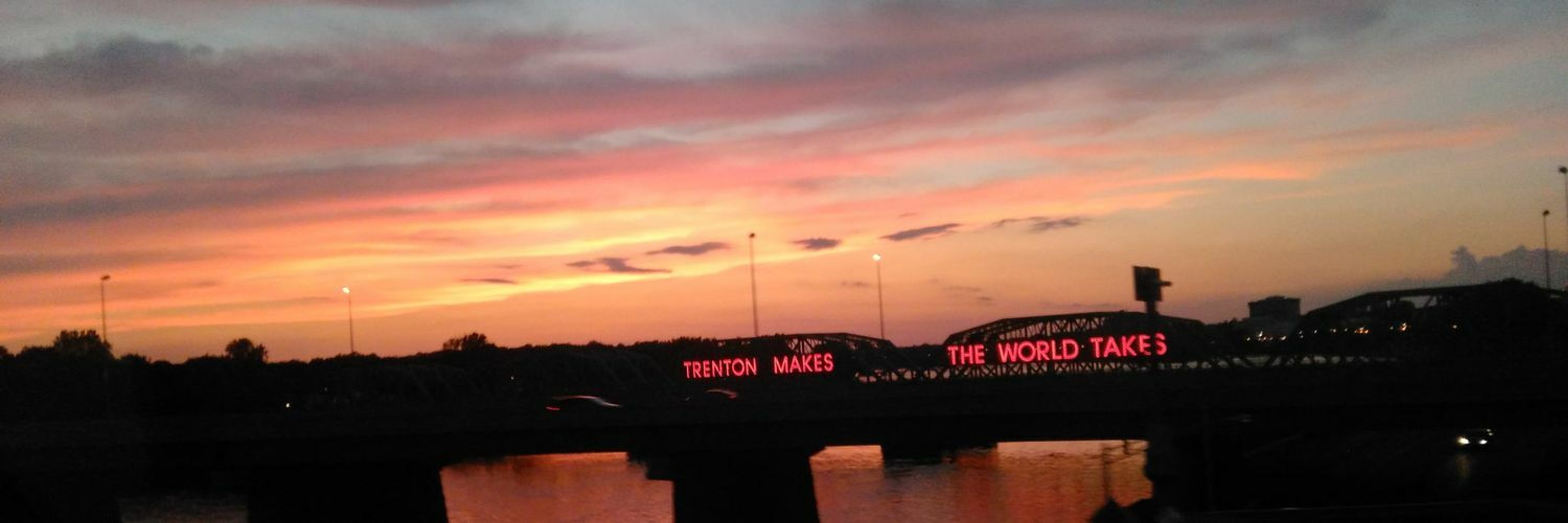
👏 Thanks to @Benjamin Novak's tutorial in @yan-holtz.bsky.social gallery r-graph-gallery.com/web-map-chor...
🌚 Used data from the Observatoire Statistique Tranfrontalier
#rstats #dataviz #map #ggplot2 #gis
Reposted by Timothée Giraud

Next Community Call: R-multiverse: a new way to publish R packages with @landau
📆 Monday, 29 September 2025 14:00 UTC
Information + find your local time + How to join: https://ropensci.org/commcalls/r-multiverse/
🙏 Please share this event with anyone who may be interested in […]


mapsf is a thematic mapping R package. Its goal is to be simple and lightweight while offering all the necessary features to create beautiful statistical maps.
This release includes a revamped theming […]
[Original post on fosstodon.org]

Valhalla is a routing service based on OpenStreetMap data.
https://valhalla.github.io/valhalla
Co-authored by @mthv
#gischat #rspatial #rstats #openstreetmap
Reposted by Timothée Giraud


Reposted by Timothée Giraud

Some of the most fundamental concepts in quantitative #geography and #gis were published in the #catmog series by the Institute of British Geographers (now part of the #rgs). Unfortunately, these publications are rarely available online, and an increasing number of […]
Reposted by Timothée Giraud
💡 A great way to learn with these 'good first issues'! 💡
📦 stplanr (by @robinlovelace)
"Rename rnet_merge as rnet_merge_sum and add settings to reproduce NPT results" at https://github.com/ropensci/stplanr/issues/569
"Actions […]
Reposted by Óscar Rodríguez de Rivera, Oto Kaláb


On github: https://github.com/riatelab/maposm
The package is not on CRAN, but it is on r-universe: https://riatelab.r-universe.dev/maposm
#rstats #rspatial #gischat
Reposted by Timothée Giraud, Oto Kaláb


Reposted by Timothée Giraud, Oto Kaláb

Feel free to add suggestions via PR.
Check it out: https://buff.ly/3WxYxnT
#openaccess #geoinformatics #SpatialDataScience


You can now access the high-resolution (or retina) tiles distributed by some providers.
{maptiles} is a package for downloading and composing raster tiles with R.
https://github.com/riatelab/maptiles
#gischat #rstats #rspatial
