


Scott Bachmeier
@wisc-satellite.bsky.social
Satellite meteorologist, NOAA Cooperative Institute for Meteorological Satellite Studies, University of Wisconsin - Madison. Personal account, all opinions ©2025. https://cimss.ssec.wisc.edu/satellite-blog/archives/author/scottb
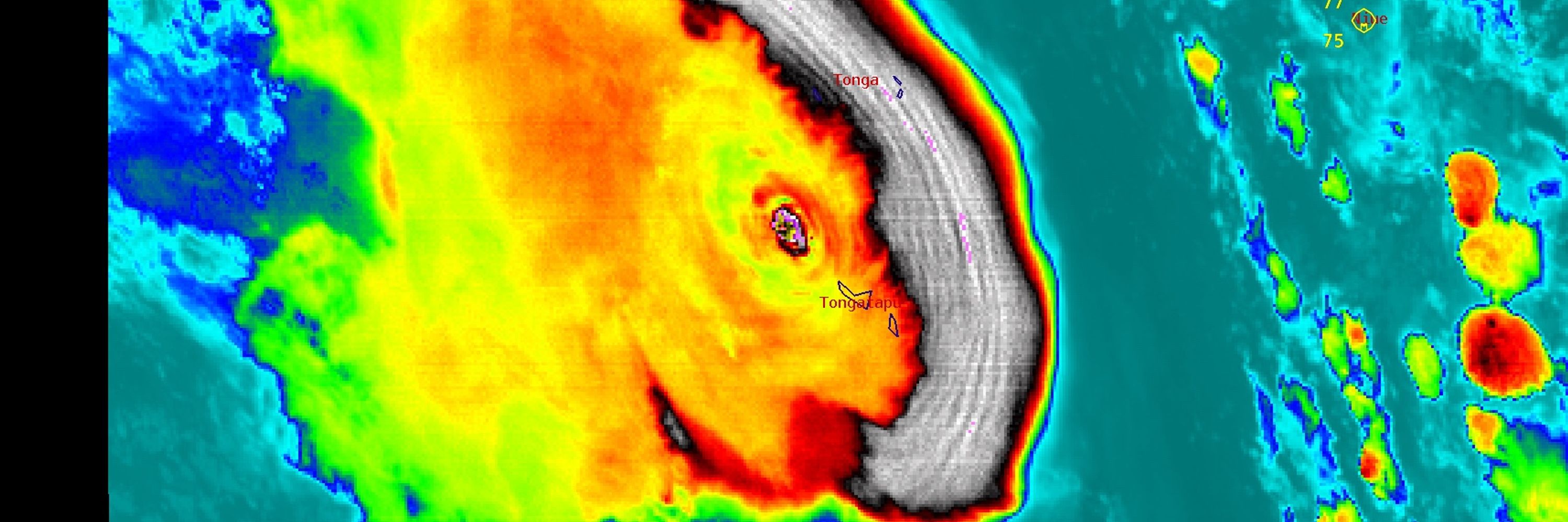
Knot necessarily.
December 9, 2025 at 4:29 PM
Knot necessarily.
AIFFS is the new CLP5.

It's easy to think of AI models as superior in the synoptic-scale in extended lead times vs. typical NWP models - and statistically speaking this is on average the case - but AI models are not perfect.
Case in point -- AIFS completely missed an upcoming potential major cold outbreak:
Case in point -- AIFS completely missed an upcoming potential major cold outbreak:
December 7, 2025 at 12:49 AM
AIFFS is the new CLP5.
Impressive eruption of #Kilauea today, with a rare triple fountain event -- with @noaa.gov #GOES18/#GOESWest showing a combination of SO2 and SO2+ash clouds. #HIwx
December 6, 2025 at 10:21 PM
Impressive eruption of #Kilauea today, with a rare triple fountain event -- with @noaa.gov #GOES18/#GOESWest showing a combination of SO2 and SO2+ash clouds. #HIwx
Dendrites doing delectable deeds.

Madison, WI (11.7" at Dane Co. Reg'l Airport) just had its "heaviest pre-December in season" 2-day snowfall on record from Winter Storm Bellamy. (Previous: Nov. 8-9, 1985...10.5")
It was Milwaukee's (8") heaviest pre-Dec. snowstorm in 30 years.
Not much fire in the back patio fire pit for awhile.
It was Milwaukee's (8") heaviest pre-Dec. snowstorm in 30 years.
Not much fire in the back patio fire pit for awhile.


November 30, 2025 at 6:04 PM
Dendrites doing delectable deeds.
@wisc-satellite.bsky.social in disarray.


November 27, 2025 at 9:52 PM
@wisc-satellite.bsky.social in disarray.
Air Mass RGB images from @noaa.gov #GOES18/#GOESWest showed the leading edge of the SO2-rich #HayliGubbi volcanic cloud (brighter shades of magenta) as it moved eastward across the North Pacific Ocean (east of Japan).
November 26, 2025 at 7:46 PM
Air Mass RGB images from @noaa.gov #GOES18/#GOESWest showed the leading edge of the SO2-rich #HayliGubbi volcanic cloud (brighter shades of magenta) as it moved eastward across the North Pacific Ocean (east of Japan).
Derived Ash Height product from @eumetsat.int #meteosat10 suggested that parts of the volcanic ash cloud from the eruption of #HayliGubbi in Ethiopia may have reached heights in the 18-20 km range (black).
November 23, 2025 at 8:39 PM
Derived Ash Height product from @eumetsat.int #meteosat10 suggested that parts of the volcanic ash cloud from the eruption of #HayliGubbi in Ethiopia may have reached heights in the 18-20 km range (black).
There were pilot reports of Extreme Turbulence yesterday over southwest Lower Michigan (causing some minor injuries) -- more details on the CIMSS Satellite Blog: cimss.ssec.wisc.edu/satellite-bl...
November 21, 2025 at 7:43 PM
There were pilot reports of Extreme Turbulence yesterday over southwest Lower Michigan (causing some minor injuries) -- more details on the CIMSS Satellite Blog: cimss.ssec.wisc.edu/satellite-bl...
A thermal signature of the launch of @eumetsat.int #Sentinel6B (from Vandenberg Space Force Base, California) was seen in many of the 16 ABI spectral bands of @noaa.gov #GOES18/#GOESWest.
November 17, 2025 at 4:47 PM
A thermal signature of the launch of @eumetsat.int #Sentinel6B (from Vandenberg Space Force Base, California) was seen in many of the 16 ABI spectral bands of @noaa.gov #GOES18/#GOESWest.
A thermal signature of the #BlueOrigin #NewGlenn #NG2 booster rocket was apparent in @NOAASatellites #GOESEast ABI spectral bands 8/9/10/16 (w/ a very subtle signature in Band 4) as it launched from @NASAKennedy in Florida. A signature of the rocket condensation cloud was seen in all 16 ABI Bands.
November 13, 2025 at 10:43 PM
A thermal signature of the #BlueOrigin #NewGlenn #NG2 booster rocket was apparent in @NOAASatellites #GOESEast ABI spectral bands 8/9/10/16 (w/ a very subtle signature in Band 4) as it launched from @NASAKennedy in Florida. A signature of the rocket condensation cloud was seen in all 16 ABI Bands.
1-min #GOESEast Infrared images w/ an overlay of GLM Flash Extent Density (large blue/cyan pixels) & GLM Flash Points (white dots) showed 3 brief signatures of lightning along the Indiana & Illinois coasts overnight - highlighting lake effect thundersnow. @nwschicago.bsky.social #ILwx #INwx
November 10, 2025 at 4:56 PM
1-min #GOESEast Infrared images w/ an overlay of GLM Flash Extent Density (large blue/cyan pixels) & GLM Flash Points (white dots) showed 3 brief signatures of lightning along the Indiana & Illinois coasts overnight - highlighting lake effect thundersnow. @nwschicago.bsky.social #ILwx #INwx
The 50th Anniversary of the Wreck of the Edmund Fitzgerald: A New Perspective on an Old Storm: cimss.ssec.wisc.edu/satellite-bl...

November 10, 2025 at 2:39 PM
The 50th Anniversary of the Wreck of the Edmund Fitzgerald: A New Perspective on an Old Storm: cimss.ssec.wisc.edu/satellite-bl...
A thermal signature of the UPS Flight 2978 crash and resulting fire near Louisville International Airport (on November 4) was evident in both #GOESEast and #GOESWest, especially using the Next Generation Fire System -- details on the CIMSS Satellite Blog: cimss.ssec.wisc.edu/satellite-bl...
November 6, 2025 at 11:52 PM
A thermal signature of the UPS Flight 2978 crash and resulting fire near Louisville International Airport (on November 4) was evident in both #GOESEast and #GOESWest, especially using the Next Generation Fire System -- details on the CIMSS Satellite Blog: cimss.ssec.wisc.edu/satellite-bl...
True Color RGB images from #GOES19/#GOESEast showed the rapidly intensifying Hurricane Force Low south of the Canadian Maritimes -- which included the hazy signature of light being scattered by very high waves south-southeast of the storm center. @cyclone-fogarty.bsky.social
November 4, 2025 at 10:38 PM
True Color RGB images from #GOES19/#GOESEast showed the rapidly intensifying Hurricane Force Low south of the Canadian Maritimes -- which included the hazy signature of light being scattered by very high waves south-southeast of the storm center. @cyclone-fogarty.bsky.social
Beware the gales of November.

MKX issues Marine Warning [waterspout: POSSIBLE, wind: <34 KTS, hail: 0.00 IN] till Nov 1, 11:15 AM CDT Link

November 1, 2025 at 2:57 PM
Beware the gales of November.
Reposted by Scott Bachmeier

Now that #Melissa is behind us as a tropical system, we need to have an honest conversation about how the federal weather enterprise is still running because of volunteers & unpaid employees, and how this "shutdown" is not really a shutdown.
https://tinyurl.com/2wk36686
https://tinyurl.com/2wk36686

Federal weather enterprise rises to the occasion again with Melissa - thanks to volunteers and unpaid employees
When a federal government "shutdown" is not really a shutdown. And also looking at the continued longer term impacts of ongoing and threatened budget cuts.
tinyurl.com
October 31, 2025 at 6:10 PM
Now that #Melissa is behind us as a tropical system, we need to have an honest conversation about how the federal weather enterprise is still running because of volunteers & unpaid employees, and how this "shutdown" is not really a shutdown.
https://tinyurl.com/2wk36686
https://tinyurl.com/2wk36686
After briefly intensifying to a Category 4 storm at 0300 UTC (between Jamaica and Cuba), Hurricane #Melissa later made landfall in Cuba as a Category 3 storm at 0710 UTC. The peak wind gust at Guantanamo (MUGM) was 75 kts (86 mph) at 0623 UTC.
October 29, 2025 at 5:12 PM
After briefly intensifying to a Category 4 storm at 0300 UTC (between Jamaica and Cuba), Hurricane #Melissa later made landfall in Cuba as a Category 3 storm at 0710 UTC. The peak wind gust at Guantanamo (MUGM) was 75 kts (86 mph) at 0623 UTC.
The Advanced Dvorak Technique (ADT) satellite-derived intensity estimate peaked at 185 knots for #Melissa -- which, according to the developer at CIMSS, is the highest value to date for any tropical cyclone.

October 28, 2025 at 10:41 PM
The Advanced Dvorak Technique (ADT) satellite-derived intensity estimate peaked at 185 knots for #Melissa -- which, according to the developer at CIMSS, is the highest value to date for any tropical cyclone.
1-minute #GOES19/#GOESEast Visible images showed that soon after making landfall, the eye of Hurricane #Melissa became cloud-filled as the storm interacted with higher terrain on the western edge of Jamaica.
October 28, 2025 at 8:58 PM
1-minute #GOES19/#GOESEast Visible images showed that soon after making landfall, the eye of Hurricane #Melissa became cloud-filled as the storm interacted with higher terrain on the western edge of Jamaica.
1-minute #GOES19/#GOESEast Visible and Infrared images with plots of GLM Flash Points showed prolific lightning activity within the inner eyewall of Category 5 Hurricane #Melissa as it approaches the SW coast of Jamaica. Low-altitude mesovortices persist within the eye.
October 28, 2025 at 2:32 PM
1-minute #GOES19/#GOESEast Visible and Infrared images with plots of GLM Flash Points showed prolific lightning activity within the inner eyewall of Category 5 Hurricane #Melissa as it approaches the SW coast of Jamaica. Low-altitude mesovortices persist within the eye.
Sunrise on Category 5 Hurricane #Melissa south of Jamaica -- 1-minute #GOES19/#GOESEast Visible and Infrared images showed a nice "stadium effect" with the eye, and GLM Flash Points highlighted abundant lightning activity within the inner eyewall.
October 27, 2025 at 5:02 PM
Sunrise on Category 5 Hurricane #Melissa south of Jamaica -- 1-minute #GOES19/#GOESEast Visible and Infrared images showed a nice "stadium effect" with the eye, and GLM Flash Points highlighted abundant lightning activity within the inner eyewall.
More imagery and details of Hurricane #Melissa are available on the CIMSS Satellite Blog: cimss.ssec.wisc.edu/satellite-bl...
October 27, 2025 at 3:45 AM
More imagery and details of Hurricane #Melissa are available on the CIMSS Satellite Blog: cimss.ssec.wisc.edu/satellite-bl...