


Romain Fourmy
@romainfourmy.bsky.social
Geospatial & Earth Observation Expert 🌍| 🛰️ Transforming views from above into insights
That’s why we need people who can bridge the gap—helping teams understand the potential, select the right datasets aligned with real project needs, and combining them with ground realities to generate practical insights.
May 7, 2025 at 7:58 AM
That’s why we need people who can bridge the gap—helping teams understand the potential, select the right datasets aligned with real project needs, and combining them with ground realities to generate practical insights.
But as the volume of data increases and the landscape expands, it may become harder for non-technical users to navigate and fully benefit from earth observation.
May 7, 2025 at 7:58 AM
But as the volume of data increases and the landscape expands, it may become harder for non-technical users to navigate and fully benefit from earth observation.
Second, the satellite data ecosystem will continue to grow—driven by ongoing research advancements, new satellite missions, and faster processing technologies. That’s good news.
May 7, 2025 at 7:58 AM
Second, the satellite data ecosystem will continue to grow—driven by ongoing research advancements, new satellite missions, and faster processing technologies. That’s good news.
In later stages, satellite data—when combined with knowledge from the field—can lead to more practical and robust insights than would be possible without it.
May 7, 2025 at 7:58 AM
In later stages, satellite data—when combined with knowledge from the field—can lead to more practical and robust insights than would be possible without it.
Even years later, the key lessons still apply:
First, satellite imagery should be seen as an input to your work. In the early stages, it helps you leverage its key advantages to generate initial observations, raise meaningful questions, and guide fieldwork.
First, satellite imagery should be seen as an input to your work. In the early stages, it helps you leverage its key advantages to generate initial observations, raise meaningful questions, and guide fieldwork.
May 7, 2025 at 7:58 AM
Even years later, the key lessons still apply:
First, satellite imagery should be seen as an input to your work. In the early stages, it helps you leverage its key advantages to generate initial observations, raise meaningful questions, and guide fieldwork.
First, satellite imagery should be seen as an input to your work. In the early stages, it helps you leverage its key advantages to generate initial observations, raise meaningful questions, and guide fieldwork.
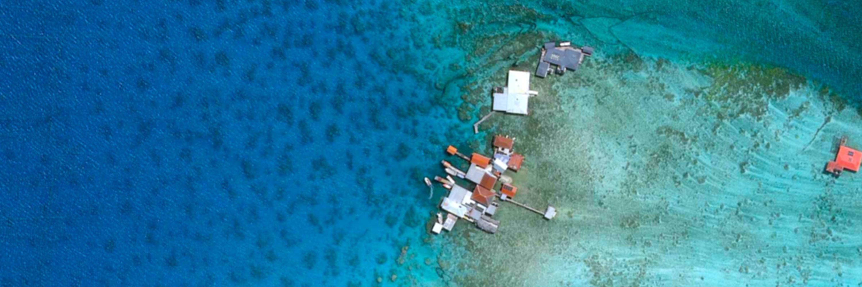
A few years ago, I used satellite imagery for the first time in an impact evaluation with ADE in Rwanda—when COVID made fieldwork impossible. Applying satellite data in a real-life case helped me understand both its advantages and limitations —lessons I now share in this blog article.
May 7, 2025 at 7:58 AM
A few years ago, I used satellite imagery for the first time in an impact evaluation with ADE in Rwanda—when COVID made fieldwork impossible. Applying satellite data in a real-life case helped me understand both its advantages and limitations —lessons I now share in this blog article.