


Eric Wilhelm
@ericwfmj.bsky.social
Chief Meteorologist, WFMJ-TV, Youngstown Ohio.
The Ohio State University
🏌️ ⛈ 🍺 ♟
The Ohio State University
🏌️ ⛈ 🍺 ♟
Kids and teachers hoping for a snow day soon....no such luck over the next week. Chances of wintry weather will increase from midmonth on.

January 6, 2026 at 10:19 PM
Kids and teachers hoping for a snow day soon....no such luck over the next week. Chances of wintry weather will increase from midmonth on.
Tuesday: gloomy afternoon, but we don't have to shovel rain.

January 6, 2026 at 2:13 AM
Tuesday: gloomy afternoon, but we don't have to shovel rain.

After this week's warmup, it's back to pretty typical January weather next week. It does not look as cold as some of the colder stretches we've had so far this winter.

January 5, 2026 at 10:56 PM
After this week's warmup, it's back to pretty typical January weather next week. It does not look as cold as some of the colder stretches we've had so far this winter.
It's mild and dry this afternoon, but scattered rain showers will accompany the mild air Tuesday.....mainly from midday into the afternoon.

January 5, 2026 at 8:42 PM
It's mild and dry this afternoon, but scattered rain showers will accompany the mild air Tuesday.....mainly from midday into the afternoon.
It's been since early last Monday morning! Temperatures soaring to near 40 as many head back to work and school today.

January 5, 2026 at 12:07 PM
It's been since early last Monday morning! Temperatures soaring to near 40 as many head back to work and school today.
Midwinter thaw on the way. The pattern is likely to turn cold again toward the middle of the month.

January 3, 2026 at 10:54 AM
Midwinter thaw on the way. The pattern is likely to turn cold again toward the middle of the month.
January Snow: a milder pattern will evolve during the first 10-15 days of the month, keeping snow chances lower. The 2nd half of the month has a chance to turn colder and snowier.

January 1, 2026 at 4:54 PM
January Snow: a milder pattern will evolve during the first 10-15 days of the month, keeping snow chances lower. The 2nd half of the month has a chance to turn colder and snowier.
Happy New Year! Pretty happy with how our December forecast, issued November 11, turned out. January is likely to be another colder-than-average month, although probably not as far below the average as December and not as cold as last January.


January 1, 2026 at 1:21 PM
Happy New Year! Pretty happy with how our December forecast, issued November 11, turned out. January is likely to be another colder-than-average month, although probably not as far below the average as December and not as cold as last January.
5:58pm: road conditions will continue to deteriorate this evening.


December 31, 2025 at 10:58 PM
5:58pm: road conditions will continue to deteriorate this evening.
2025 will end on a snowy note with slick roads. Be ready to take it slow if you will be out and about this evening.

December 31, 2025 at 12:12 PM
2025 will end on a snowy note with slick roads. Be ready to take it slow if you will be out and about this evening.
Monday AM: A lot going on over the next 24 hours. Wind chills will settle into the lower teens today. Most of the problematic snow showers will be from mid-afternoon into tonight.

December 29, 2025 at 12:48 PM
Monday AM: A lot going on over the next 24 hours. Wind chills will settle into the lower teens today. Most of the problematic snow showers will be from mid-afternoon into tonight.
Sunday evening snow forecast update: Snow showers from midday Monday through Tuesday morning will add up to 4-6" around/north of I-80, with lower totals to the south. There can be changeable conditions ard travel impacts regardless of the amount. Very windy Monday PM.

December 28, 2025 at 11:29 PM
Sunday evening snow forecast update: Snow showers from midday Monday through Tuesday morning will add up to 4-6" around/north of I-80, with lower totals to the south. There can be changeable conditions ard travel impacts regardless of the amount. Very windy Monday PM.
3:23pm: thunder freezing rain in western PA, near Oil City.

December 26, 2025 at 8:27 PM
3:23pm: thunder freezing rain in western PA, near Oil City.
Friday AM: Today will turn rainy. Temperatures should rise above freezing in much of the area by midday, but it may struggle to get above 32 into the afternoon in eastern Mercer Co. Highest freezing rain impacts will be in PA east of our viewing area.


December 26, 2025 at 12:08 PM
Friday AM: Today will turn rainy. Temperatures should rise above freezing in much of the area by midday, but it may struggle to get above 32 into the afternoon in eastern Mercer Co. Highest freezing rain impacts will be in PA east of our viewing area.
A week from now: it'll certainly feel colder than it does this evening.

December 24, 2025 at 2:02 AM
A week from now: it'll certainly feel colder than it does this evening.

Christmas Day weather has been all over the place in recent years, but this year the day will be pretty uneventful....just somewhat warmer-than-average.

December 23, 2025 at 11:14 PM
Christmas Day weather has been all over the place in recent years, but this year the day will be pretty uneventful....just somewhat warmer-than-average.
Rain will overspread the area by midday Friday, but temperatures might struggle to get above 32 for a time, especially in western PA. I-80 may be pretty tricky in Mercer County for a while.

December 23, 2025 at 9:28 PM
Rain will overspread the area by midday Friday, but temperatures might struggle to get above 32 for a time, especially in western PA. I-80 may be pretty tricky in Mercer County for a while.
Enjoy this relatively mild stretch, as it looks like the arctic hounds will return to close out the year.

December 23, 2025 at 8:41 PM
Enjoy this relatively mild stretch, as it looks like the arctic hounds will return to close out the year.
We'll have much better-looking days than Tuesday, but at least it will be fairly mild.

December 23, 2025 at 2:08 AM
We'll have much better-looking days than Tuesday, but at least it will be fairly mild.

Weather will be pretty low-impact through Christmas Day. Friday could be tricky for a few hours during the morning/midday. After a dry Saturday, rain could return Sunday and a changeover to flurries and snow showers could occur by the end of the day.

December 22, 2025 at 9:36 PM
Weather will be pretty low-impact through Christmas Day. Friday could be tricky for a few hours during the morning/midday. After a dry Saturday, rain could return Sunday and a changeover to flurries and snow showers could occur by the end of the day.
Reposted by Eric Wilhelm

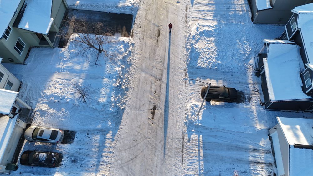
Solar noon shadows in Anchorage on the winter solstice.


December 21, 2025 at 11:16 PM
Solar noon shadows in Anchorage on the winter solstice.
