


Elmera Azadpour
@eazadpour.bsky.social
#DataViz #rstats | she/her | elmeraa-usgs.github.io
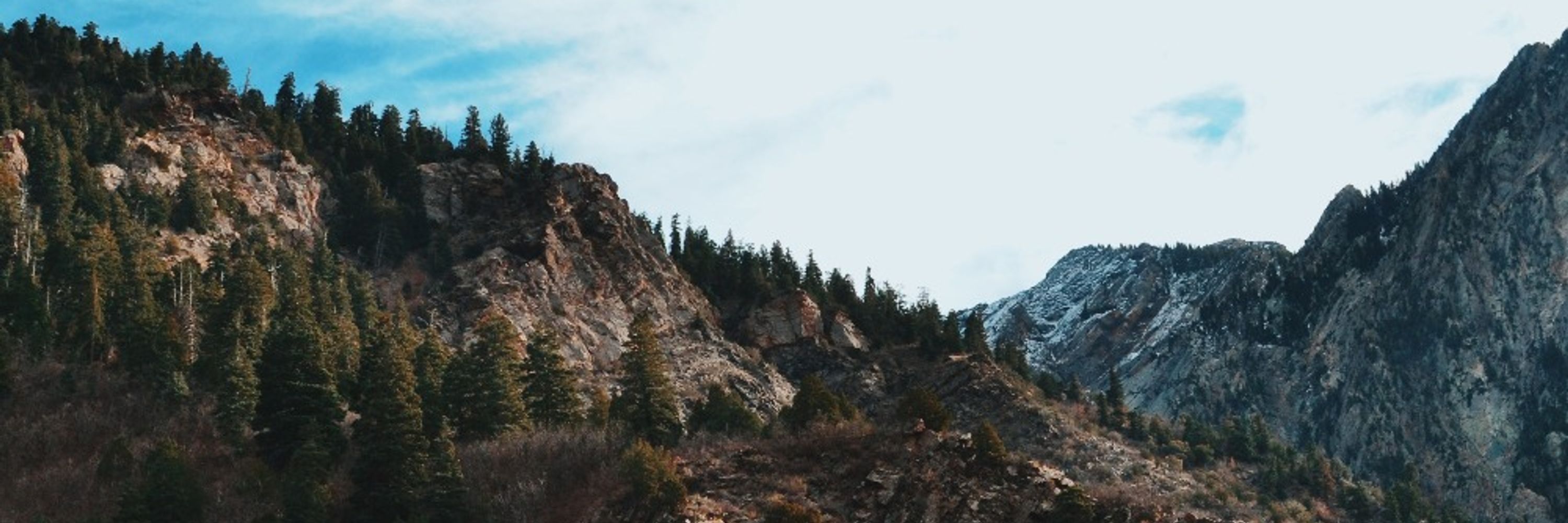
#30DayChartChallenge | Day 30 - National Geographic Theme | Great Salt Lake 🛰️
#dataviz #remotesensing #GEE
#dataviz #remotesensing #GEE
April 30, 2025 at 4:43 PM
#30DayChartChallenge | Day 30 - National Geographic Theme | Great Salt Lake 🛰️
#dataviz #remotesensing #GEE
#dataviz #remotesensing #GEE


March 25, 2025 at 3:43 PM
100% - data just wasn't available in the package. After doing some digging, looks like this site does have some data, I can manually add later! Thanks for the reminder :) www.nwslsoccer.com/teams/196746...

March 25, 2025 at 3:30 PM
100% - data just wasn't available in the package. After doing some digging, looks like this site does have some data, I can manually add later! Thanks for the reminder :) www.nwslsoccer.com/teams/196746...


Week 10 | #TidyTuesday | Pixar Film Ratings
🔗 github.com/elmeraa-usgs...
#rstats #dataviz #r4ds #ggplot
🔗 github.com/elmeraa-usgs...
#rstats #dataviz #r4ds #ggplot

March 14, 2025 at 10:35 PM
Week 10 | #TidyTuesday | Pixar Film Ratings
🔗 github.com/elmeraa-usgs...
#rstats #dataviz #r4ds #ggplot
🔗 github.com/elmeraa-usgs...
#rstats #dataviz #r4ds #ggplot


February 10, 2025 at 11:19 PM
Explore how to visualize change in incomplete plumbing facilities across counties for states of interest using #tidycensus

December 9, 2024 at 7:44 PM
Explore how to visualize change in incomplete plumbing facilities across counties for states of interest using #tidycensus
This blog post provides #reproducible code to process and visualize #tidycensus #acs data, such as households lacking plumbing facilities, across counties in the Western U.S.

December 9, 2024 at 7:44 PM
This blog post provides #reproducible code to process and visualize #tidycensus #acs data, such as households lacking plumbing facilities, across counties in the Western U.S.
Looking to fold @uscensusbureau data into your workflows? Our latest blog shows how to use #tidycensus to explore & visualize social vulnerability indicators in the Western U.S., with #reproducible code!
🔗: waterdata.usgs.gov/blog/acs-maps/
#rstats #DataViz #WaterInsecurity #OpenScience
🔗: waterdata.usgs.gov/blog/acs-maps/
#rstats #DataViz #WaterInsecurity #OpenScience

December 9, 2024 at 7:43 PM
Looking to fold @uscensusbureau data into your workflows? Our latest blog shows how to use #tidycensus to explore & visualize social vulnerability indicators in the Western U.S., with #reproducible code!
🔗: waterdata.usgs.gov/blog/acs-maps/
#rstats #DataViz #WaterInsecurity #OpenScience
🔗: waterdata.usgs.gov/blog/acs-maps/
#rstats #DataViz #WaterInsecurity #OpenScience
November #streamflow conditions across the U.S. 💧
Dry conditions persisted for much of the Eastern U.S. while parts of the Central U.S. saw wet conditions.
#DataViz made with #rstats #dataRetrieval
github.com/DOI-USGS/flo...
Dry conditions persisted for much of the Eastern U.S. while parts of the Central U.S. saw wet conditions.
#DataViz made with #rstats #dataRetrieval
github.com/DOI-USGS/flo...

December 5, 2024 at 5:58 PM
November #streamflow conditions across the U.S. 💧
Dry conditions persisted for much of the Eastern U.S. while parts of the Central U.S. saw wet conditions.
#DataViz made with #rstats #dataRetrieval
github.com/DOI-USGS/flo...
Dry conditions persisted for much of the Eastern U.S. while parts of the Central U.S. saw wet conditions.
#DataViz made with #rstats #dataRetrieval
github.com/DOI-USGS/flo...
Check out U.S. River Conditions from October 1, 2023 to September 30, 2024 at #USGS #streamgages💧
River conditions range from driest conditions at a gage (red open circles) to the wettest (blue closed circles). A purple outer ring indicates flooding
www.usgs.gov/media/videos...
River conditions range from driest conditions at a gage (red open circles) to the wettest (blue closed circles). A purple outer ring indicates flooding
www.usgs.gov/media/videos...

November 27, 2024 at 4:37 PM
Check out U.S. River Conditions from October 1, 2023 to September 30, 2024 at #USGS #streamgages💧
River conditions range from driest conditions at a gage (red open circles) to the wettest (blue closed circles). A purple outer ring indicates flooding
www.usgs.gov/media/videos...
River conditions range from driest conditions at a gage (red open circles) to the wettest (blue closed circles). A purple outer ring indicates flooding
www.usgs.gov/media/videos...
Public supply is the source of water for many beverage facilities, but water source varies by facility type. Here we show water sources across facility type for the U.S. where line thickness is scaled to the # of facilities in each category. Learn more at: labs.waterdata.usgs.gov/visualizatio...

November 22, 2023 at 8:42 PM
Public supply is the source of water for many beverage facilities, but water source varies by facility type. Here we show water sources across facility type for the U.S. where line thickness is scaled to the # of facilities in each category. Learn more at: labs.waterdata.usgs.gov/visualizatio...
October #streamflow conditions across the U.S. 💧
Dry conditions persisted throughout much of the U.S., while parts of New England and Puerto Rico saw wet conditions.
#DataViz made with #rstats #dataRetrieval
github.com/DOI-USGS/flo...
Dry conditions persisted throughout much of the U.S., while parts of New England and Puerto Rico saw wet conditions.
#DataViz made with #rstats #dataRetrieval
github.com/DOI-USGS/flo...

November 6, 2023 at 5:48 PM
October #streamflow conditions across the U.S. 💧
Dry conditions persisted throughout much of the U.S., while parts of New England and Puerto Rico saw wet conditions.
#DataViz made with #rstats #dataRetrieval
github.com/DOI-USGS/flo...
Dry conditions persisted throughout much of the U.S., while parts of New England and Puerto Rico saw wet conditions.
#DataViz made with #rstats #dataRetrieval
github.com/DOI-USGS/flo...