


Jac Mac
@jacmacandsneeze.bsky.social
IT>EN translator. Educated bimbo.
I like pickled onions.
she/her
I like pickled onions.
she/her

Reposted by Jac Mac

Reminder: you don't have to engage with AI as an instructor. You can talk about AI--even build AI literacy, if you want to call it that--and still not engage directly with a brutal, unethical, ecologically disastrous bundle of technologies. Regardless of institutional pressure, you can refuse.
November 26, 2025 at 6:15 PM
Reminder: you don't have to engage with AI as an instructor. You can talk about AI--even build AI literacy, if you want to call it that--and still not engage directly with a brutal, unethical, ecologically disastrous bundle of technologies. Regardless of institutional pressure, you can refuse.
Reposted by Jac Mac

[observing someone’s obsessive passion project] wow i really like whatever’s wrong with that guy
November 28, 2025 at 11:40 PM
[observing someone’s obsessive passion project] wow i really like whatever’s wrong with that guy
Reposted by Jac Mac

Northwestern and Columbia being famous for journalism and bending over for Trump seems a little too on the nose these days

This is the second largest payout from a private university to the Trump admin yet, second only to Columbia’s $200m
November 29, 2025 at 2:07 AM
Northwestern and Columbia being famous for journalism and bending over for Trump seems a little too on the nose these days
Reposted by Jac Mac
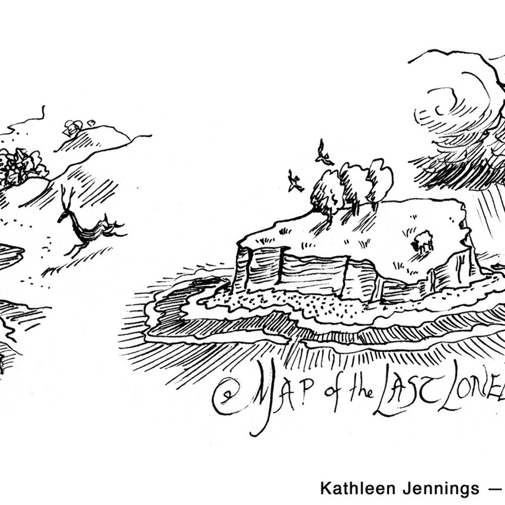
The map's form: call and response
It shows: bad behaviour
Its purpose: to convey meaning
It shows: bad behaviour
Its purpose: to convey meaning
November 29, 2025 at 3:36 AM
The map's form: call and response
It shows: bad behaviour
Its purpose: to convey meaning
It shows: bad behaviour
Its purpose: to convey meaning
Reposted by Jac Mac

This is murder. www.washingtonpost.com/national-sec...

November 28, 2025 at 6:16 PM
This is murder. www.washingtonpost.com/national-sec...
Reposted by Jac Mac

I phrased the search a different way and the bot happily gave the opposite claim also as true, once again connected to a different set of semi-credible sources. Among the other issues, then, is that we are dealing with de-contextualizing tools. Information lifted from its chain of reference.
November 28, 2025 at 2:18 PM
I phrased the search a different way and the bot happily gave the opposite claim also as true, once again connected to a different set of semi-credible sources. Among the other issues, then, is that we are dealing with de-contextualizing tools. Information lifted from its chain of reference.
Reposted by Jac Mac

Folks with Diabetes!
There is an urgent recall on some FreeStyle Libre 3 and FreeStyle Libre 3 Plus sensors because they are showing false low glucose readings.
Check your sensor serial numbers at freestylecheck.com
There is an urgent recall on some FreeStyle Libre 3 and FreeStyle Libre 3 Plus sensors because they are showing false low glucose readings.
Check your sensor serial numbers at freestylecheck.com

Home | FreeStyle - Abbott
freestylecheck.com
November 29, 2025 at 2:29 AM
Folks with Diabetes!
There is an urgent recall on some FreeStyle Libre 3 and FreeStyle Libre 3 Plus sensors because they are showing false low glucose readings.
Check your sensor serial numbers at freestylecheck.com
There is an urgent recall on some FreeStyle Libre 3 and FreeStyle Libre 3 Plus sensors because they are showing false low glucose readings.
Check your sensor serial numbers at freestylecheck.com
is it the sun going down early ruining my brain or am I no longer capable of being interesting or both
November 29, 2025 at 1:30 AM
is it the sun going down early ruining my brain or am I no longer capable of being interesting or both
Reposted by Jac Mac

On major questions of university governance, a 99.3% majority vote of the faculty means nothing to the people who are actually in charge. This is a fact all of us need to take much more seriously.
November 29, 2025 at 1:18 AM
On major questions of university governance, a 99.3% majority vote of the faculty means nothing to the people who are actually in charge. This is a fact all of us need to take much more seriously.
forgot how much a full head of bleach at the roots starts looking like being covered in marshmallow while it's processing
November 29, 2025 at 12:56 AM
forgot how much a full head of bleach at the roots starts looking like being covered in marshmallow while it's processing
Reposted by Jac Mac

opening a mounting and framing store called posters madness
November 28, 2025 at 10:51 PM
opening a mounting and framing store called posters madness
Reposted by Jac Mac

There might be no better example of the war coming home than a CIA trained teen death squad recruit getting asylum in the US and then shooting a bunch of soldiers who were deployed to DC for no reason other than Kabuki Security Theater
November 28, 2025 at 5:34 PM
There might be no better example of the war coming home than a CIA trained teen death squad recruit getting asylum in the US and then shooting a bunch of soldiers who were deployed to DC for no reason other than Kabuki Security Theater
headlines that send your eyebrows to your hairline

Bologna, arrestata la stalker che aveva organizzato il funerale della donna bersaglio delle molestie online

Bologna, arrestata la stalker che aveva organizzato il funerale della donna bersaglio delle molestie online
Per oltre un anno, una professionista bolognese ha vissuto in uno stato di allarme continuo
www.open.online
November 28, 2025 at 7:20 PM
headlines that send your eyebrows to your hairline
Reposted by Jac Mac

man i sure wish there were a search engine that would make up plausible-looking but completely incorrect search results
November 27, 2025 at 3:00 PM
man i sure wish there were a search engine that would make up plausible-looking but completely incorrect search results
Reposted by Jac Mac

thinking about the mathlight and having cursed ideas again

November 28, 2025 at 7:15 PM
thinking about the mathlight and having cursed ideas again
Reposted by Jac Mac

Hello, YouTube has shown me a video of a guy teaching an octopus from the fish market to play piano
www.youtube.com/watch?v=PcWn...
www.youtube.com/watch?v=PcWn...

I taught an octopus piano (It took 6 months)
YouTube video by Mattias Krantz
www.youtube.com
November 28, 2025 at 6:07 PM
Hello, YouTube has shown me a video of a guy teaching an octopus from the fish market to play piano
www.youtube.com/watch?v=PcWn...
www.youtube.com/watch?v=PcWn...
today in vintage nightmare fuel

November 28, 2025 at 6:17 PM
today in vintage nightmare fuel
Reposted by Jac Mac

The magnitude of the change over time is striking.
www.nbcnews.com/health/healt...
www.nbcnews.com/health/healt...

November 28, 2025 at 3:50 PM
The magnitude of the change over time is striking.
www.nbcnews.com/health/healt...
www.nbcnews.com/health/healt...
Reposted by Jac Mac

LLM-generated slop gets through undetected & seems viable because a considerable amount of contemporary mainstream writing (literary & other genres) reads like it was algorithmically-pumped anyway. People writing to imitate a marketing machine is the saddest thing.
November 24, 2025 at 3:46 PM
LLM-generated slop gets through undetected & seems viable because a considerable amount of contemporary mainstream writing (literary & other genres) reads like it was algorithmically-pumped anyway. People writing to imitate a marketing machine is the saddest thing.
Reposted by Jac Mac

“What if the huge quantities of electrical energy and manpower we use to keep the internet stable were devoted in the majority to worthless shit?”


November 28, 2025 at 4:22 PM
“What if the huge quantities of electrical energy and manpower we use to keep the internet stable were devoted in the majority to worthless shit?”
Once again, a great product for universities with FERPA obligations to decide every student should have and use

ChatGPT users’ personal details exposed in data breach, OpenAI reveals

ChatGPT users’ personal details exposed in data breach, OpenAI reveals
ChatGPT users’ personal details exposed in data breach, OpenAI reveals
www.independent.co.uk
November 28, 2025 at 4:17 PM
Once again, a great product for universities with FERPA obligations to decide every student should have and use
Reposted by Jac Mac

the fact that dealing with rampant lying and its much worse downstream consequences involves cultivating values rather than just imposing formal frameworks or rules (legal or otherwise) is a tough pill to swallow for some. but it is indeed medicine

Pointing out that something is incorrect definitely isn't sufficient - the *culture* of "it is bad to make incorrect statements, good to promptly and clearly retract and apologize for them, and disqualifying to keep making them deliberately" is the framework needed for fact-checking to plug into.
November 28, 2025 at 3:40 PM
the fact that dealing with rampant lying and its much worse downstream consequences involves cultivating values rather than just imposing formal frameworks or rules (legal or otherwise) is a tough pill to swallow for some. but it is indeed medicine
Reposted by Jac Mac

can all these freaks go outside and leave us alone

November 28, 2025 at 3:38 PM
can all these freaks go outside and leave us alone
Reposted by Jac Mac

Violence has no place in America. It's place is uhhhhhhhhhhh a wedding in Kandahar province, Afghanistan

Violence has no place in America. Michelle and I are praying for the servicemembers shot in Washington, DC today, and send our love to their families as they enter this holiday season under the most tragic of circumstances.
November 27, 2025 at 10:38 PM
Violence has no place in America. It's place is uhhhhhhhhhhh a wedding in Kandahar province, Afghanistan