


Stephen Nehrenz
@stephennehrenz.bsky.social
Meteorologist at News On 6 | Norman born and raised | OU School of Meteorology Grad | All-around weather nerd with a healthy sports obsession!
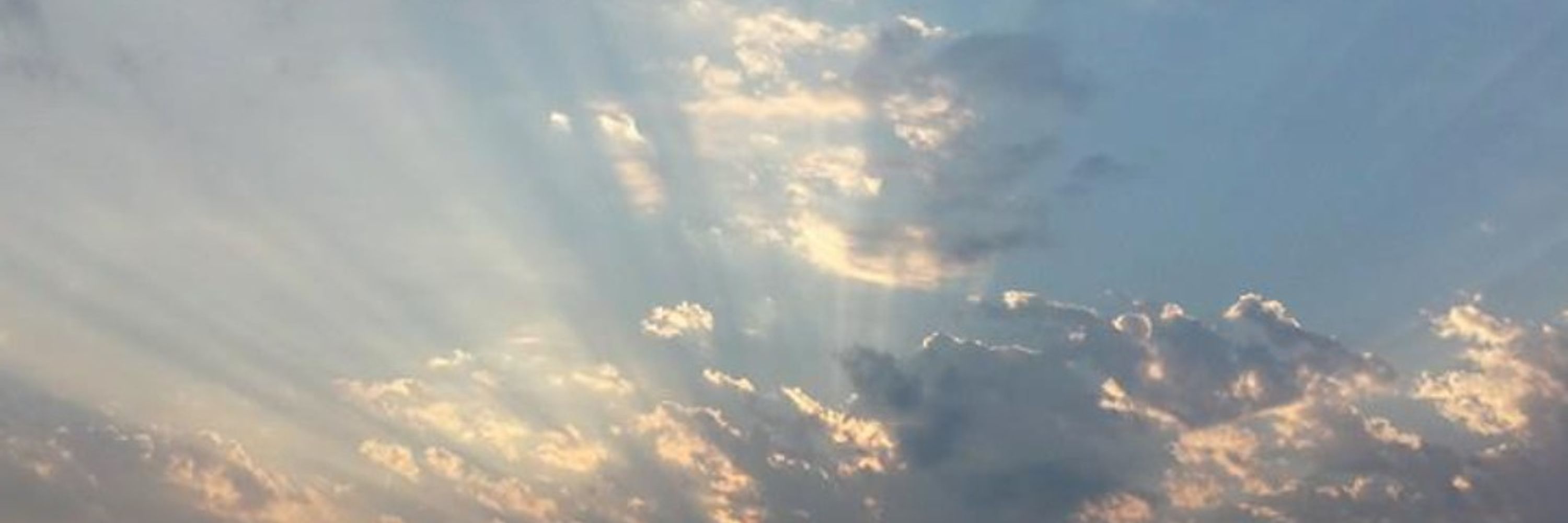
Temperatures moderate a bit Friday into Saturday, but another strong cold front early Sunday will bring us a blustery end to the weekend!
Any additional precipitation chances are pretty low over the next several days. #okwx
Any additional precipitation chances are pretty low over the next several days. #okwx

December 4, 2025 at 7:38 PM
Temperatures moderate a bit Friday into Saturday, but another strong cold front early Sunday will bring us a blustery end to the weekend!
Any additional precipitation chances are pretty low over the next several days. #okwx
Any additional precipitation chances are pretty low over the next several days. #okwx
Now that is the definition of a narrow snow band!
It was only a county or two wide, but right under it there was a swath of 1"-2" of snow from central Oklahoma into east-central Oklahoma. #okwx
It was only a county or two wide, but right under it there was a swath of 1"-2" of snow from central Oklahoma into east-central Oklahoma. #okwx


December 4, 2025 at 7:19 PM
Now that is the definition of a narrow snow band!
It was only a county or two wide, but right under it there was a swath of 1"-2" of snow from central Oklahoma into east-central Oklahoma. #okwx
It was only a county or two wide, but right under it there was a swath of 1"-2" of snow from central Oklahoma into east-central Oklahoma. #okwx
7:30 AM: Very narrow snow band continues from Okfuskee County to Okmulgee County to Muskogee County. Some parts of Okfuskee County and Okmulgee County have picked up a quick 1"+ of snow on grassy surfaces.
In the Tulsa metro, this snow band is staying just south of the metro as expected. #okwx
In the Tulsa metro, this snow band is staying just south of the metro as expected. #okwx

December 4, 2025 at 1:32 PM
7:30 AM: Very narrow snow band continues from Okfuskee County to Okmulgee County to Muskogee County. Some parts of Okfuskee County and Okmulgee County have picked up a quick 1"+ of snow on grassy surfaces.
In the Tulsa metro, this snow band is staying just south of the metro as expected. #okwx
In the Tulsa metro, this snow band is staying just south of the metro as expected. #okwx

Outside of that very narrow precipitation band, it's pretty quiet. But we'll be watching for possible pockets of freezing drizzle near and north of Tulsa as temperatures fall below freezing. #okwx

December 4, 2025 at 11:34 AM
Outside of that very narrow precipitation band, it's pretty quiet. But we'll be watching for possible pockets of freezing drizzle near and north of Tulsa as temperatures fall below freezing. #okwx
Good Thursday morning, everyone! That very narrow band of wintry precipitation (snow with some sleet) is lined up from central OK into east-central OK, just south of the Tulsa metro.
Some quick accumulation is occurring on grassy surfaces under this narrow band. #okwx
Some quick accumulation is occurring on grassy surfaces under this narrow band. #okwx

December 4, 2025 at 11:34 AM
Good Thursday morning, everyone! That very narrow band of wintry precipitation (snow with some sleet) is lined up from central OK into east-central OK, just south of the Tulsa metro.
Some quick accumulation is occurring on grassy surfaces under this narrow band. #okwx
Some quick accumulation is occurring on grassy surfaces under this narrow band. #okwx
There are some big snowflakes flying in Okmulgee this morning! ❄️
A very narrow corridor of locally heavy snow (and some sleet) is lined up just south of the Tulsa metro.
Outside of this precip band, not much is happening. But if you're right under it, snow could add up on grassy surfaces! #okwx
A very narrow corridor of locally heavy snow (and some sleet) is lined up just south of the Tulsa metro.
Outside of this precip band, not much is happening. But if you're right under it, snow could add up on grassy surfaces! #okwx
December 4, 2025 at 11:20 AM
There are some big snowflakes flying in Okmulgee this morning! ❄️
A very narrow corridor of locally heavy snow (and some sleet) is lined up just south of the Tulsa metro.
Outside of this precip band, not much is happening. But if you're right under it, snow could add up on grassy surfaces! #okwx
A very narrow corridor of locally heavy snow (and some sleet) is lined up just south of the Tulsa metro.
Outside of this precip band, not much is happening. But if you're right under it, snow could add up on grassy surfaces! #okwx

Nailing down the exact position will be difficult, but as of now that very narrow sleet/snow band looks to set up just south of the Tulsa metro, potentially near the I-40 corridor.
Very little accumulation for most. But right under the very narrow band, a quick 1" of accumulation could occur. #okwx
Very little accumulation for most. But right under the very narrow band, a quick 1" of accumulation could occur. #okwx

December 3, 2025 at 10:30 PM
Nailing down the exact position will be difficult, but as of now that very narrow sleet/snow band looks to set up just south of the Tulsa metro, potentially near the I-40 corridor.
Very little accumulation for most. But right under the very narrow band, a quick 1" of accumulation could occur. #okwx
Very little accumulation for most. But right under the very narrow band, a quick 1" of accumulation could occur. #okwx
Near or before sunrise Thursday, we're seeing increasing signs of a very narrow but more noticeable band of wintry precipitation (sleet and snow) that develops across western/central OK and eventually stretches into east-central OK from sunrise through mid-morning. #okwx

December 3, 2025 at 10:30 PM
Near or before sunrise Thursday, we're seeing increasing signs of a very narrow but more noticeable band of wintry precipitation (sleet and snow) that develops across western/central OK and eventually stretches into east-central OK from sunrise through mid-morning. #okwx
Overnight into pre-dawn Thursday morning, pockets of drizzle will be ongoing.
If drizzle is still occurring when temperatures start to drop below freezing in northeastern OK and southeast KS, freezing drizzle would lead to more slick bridges and elevated surfaces. #okwx
If drizzle is still occurring when temperatures start to drop below freezing in northeastern OK and southeast KS, freezing drizzle would lead to more slick bridges and elevated surfaces. #okwx

December 3, 2025 at 10:30 PM
Overnight into pre-dawn Thursday morning, pockets of drizzle will be ongoing.
If drizzle is still occurring when temperatures start to drop below freezing in northeastern OK and southeast KS, freezing drizzle would lead to more slick bridges and elevated surfaces. #okwx
If drizzle is still occurring when temperatures start to drop below freezing in northeastern OK and southeast KS, freezing drizzle would lead to more slick bridges and elevated surfaces. #okwx
Sunshine is thawing us out some today but we've got two more winter cold fronts on the way: One late Wednesday and another Saturday night.
As temps plunge Wednesday night, we're again keeping a close eye on another possible window for freezing drizzle Wednesday overnight - Thursday morning. #okwx
As temps plunge Wednesday night, we're again keeping a close eye on another possible window for freezing drizzle Wednesday overnight - Thursday morning. #okwx

December 2, 2025 at 8:03 PM
Sunshine is thawing us out some today but we've got two more winter cold fronts on the way: One late Wednesday and another Saturday night.
As temps plunge Wednesday night, we're again keeping a close eye on another possible window for freezing drizzle Wednesday overnight - Thursday morning. #okwx
As temps plunge Wednesday night, we're again keeping a close eye on another possible window for freezing drizzle Wednesday overnight - Thursday morning. #okwx

A band of light to moderate snow will slide east across far NE OK & SE KS this afternoon into early evening.
No accumulation for most, but spots along the OK/KS state line that stay <32° could see a dusting on grassy surfaces and possibly a slick spot or two. Quickly exiting NE OK after 7 PM. #okwx
No accumulation for most, but spots along the OK/KS state line that stay <32° could see a dusting on grassy surfaces and possibly a slick spot or two. Quickly exiting NE OK after 7 PM. #okwx


December 1, 2025 at 8:17 PM
A band of light to moderate snow will slide east across far NE OK & SE KS this afternoon into early evening.
No accumulation for most, but spots along the OK/KS state line that stay <32° could see a dusting on grassy surfaces and possibly a slick spot or two. Quickly exiting NE OK after 7 PM. #okwx
No accumulation for most, but spots along the OK/KS state line that stay <32° could see a dusting on grassy surfaces and possibly a slick spot or two. Quickly exiting NE OK after 7 PM. #okwx
10:15 AM Traffic Update: Things are steadily improving as we start to dry out, but there are still several big back-ups in the Tulsa metro.
As of the last update, the eastbound Will Rogers Turnpike is still closed from the Creek Turnpike to the Verdigris River due to a major crash. #TulsaTraffic
As of the last update, the eastbound Will Rogers Turnpike is still closed from the Creek Turnpike to the Verdigris River due to a major crash. #TulsaTraffic


December 1, 2025 at 4:23 PM
10:15 AM Traffic Update: Things are steadily improving as we start to dry out, but there are still several big back-ups in the Tulsa metro.
As of the last update, the eastbound Will Rogers Turnpike is still closed from the Creek Turnpike to the Verdigris River due to a major crash. #TulsaTraffic
As of the last update, the eastbound Will Rogers Turnpike is still closed from the Creek Turnpike to the Verdigris River due to a major crash. #TulsaTraffic
8:15 AM: Welp... I think this says it all, folks. Unfortunately, these mornings with mainly light wintry precipitation can be our worst travel mornings, and that has played out this morning.
PLEASE SLOW DOWN, particularly on bridges and overpasses which remain slick and hazardous. #TulsaTraffic
PLEASE SLOW DOWN, particularly on bridges and overpasses which remain slick and hazardous. #TulsaTraffic

December 1, 2025 at 2:18 PM
8:15 AM: Welp... I think this says it all, folks. Unfortunately, these mornings with mainly light wintry precipitation can be our worst travel mornings, and that has played out this morning.
PLEASE SLOW DOWN, particularly on bridges and overpasses which remain slick and hazardous. #TulsaTraffic
PLEASE SLOW DOWN, particularly on bridges and overpasses which remain slick and hazardous. #TulsaTraffic
Well, that's pretty! ❄️
Traffic is a complete mess in the Tulsa metro with the sleet/icy wintry mix that moved through, but check out the snow flying in Bartlesville! #okwx
Traffic is a complete mess in the Tulsa metro with the sleet/icy wintry mix that moved through, but check out the snow flying in Bartlesville! #okwx
December 1, 2025 at 2:09 PM
Well, that's pretty! ❄️
Traffic is a complete mess in the Tulsa metro with the sleet/icy wintry mix that moved through, but check out the snow flying in Bartlesville! #okwx
Traffic is a complete mess in the Tulsa metro with the sleet/icy wintry mix that moved through, but check out the snow flying in Bartlesville! #okwx
Folks, PLEASE SLOW DOWN on the Monday morning commute.
Even though main highways are *mostly* okay, bridges are slick and hazardous and we've got crashes occurring all over the place now in the Tulsa metro.
Click through the images for more details. #TulsaTraffic
Even though main highways are *mostly* okay, bridges are slick and hazardous and we've got crashes occurring all over the place now in the Tulsa metro.
Click through the images for more details. #TulsaTraffic


December 1, 2025 at 1:22 PM
Folks, PLEASE SLOW DOWN on the Monday morning commute.
Even though main highways are *mostly* okay, bridges are slick and hazardous and we've got crashes occurring all over the place now in the Tulsa metro.
Click through the images for more details. #TulsaTraffic
Even though main highways are *mostly* okay, bridges are slick and hazardous and we've got crashes occurring all over the place now in the Tulsa metro.
Click through the images for more details. #TulsaTraffic
6:40am: Pockets of light to moderate mixed wintry precipitation are moving across eastern Oklahoma.
It’s not lasting too long, but bridges and elevated roads are quickly becoming very slick and crashes are happening. Please be careful! #okwx
It’s not lasting too long, but bridges and elevated roads are quickly becoming very slick and crashes are happening. Please be careful! #okwx
December 1, 2025 at 12:45 PM
6:40am: Pockets of light to moderate mixed wintry precipitation are moving across eastern Oklahoma.
It’s not lasting too long, but bridges and elevated roads are quickly becoming very slick and crashes are happening. Please be careful! #okwx
It’s not lasting too long, but bridges and elevated roads are quickly becoming very slick and crashes are happening. Please be careful! #okwx
Travel Advisory in effect this morning across northeastern OK as pockets of light wintry precipitation move through.
While we're not expecting major impacts, any steadier burst of wintry mix/sleet/freezing rain could lead to slick bridges and elevated surfaces through morning rush hour. #okwx
While we're not expecting major impacts, any steadier burst of wintry mix/sleet/freezing rain could lead to slick bridges and elevated surfaces through morning rush hour. #okwx

December 1, 2025 at 12:22 PM
Travel Advisory in effect this morning across northeastern OK as pockets of light wintry precipitation move through.
While we're not expecting major impacts, any steadier burst of wintry mix/sleet/freezing rain could lead to slick bridges and elevated surfaces through morning rush hour. #okwx
While we're not expecting major impacts, any steadier burst of wintry mix/sleet/freezing rain could lead to slick bridges and elevated surfaces through morning rush hour. #okwx
Monday Morning Heads Up: Pockets of freezing drizzle are possible near/north of Tulsa and across extreme SE OK.
We're not expecting a whole lot but if freezing drizzle does occur, some slick spots on bridges and elevated surfaces could develop. We'll keep you updated throughout the morning! #okwx
We're not expecting a whole lot but if freezing drizzle does occur, some slick spots on bridges and elevated surfaces could develop. We'll keep you updated throughout the morning! #okwx

December 1, 2025 at 1:34 AM
Monday Morning Heads Up: Pockets of freezing drizzle are possible near/north of Tulsa and across extreme SE OK.
We're not expecting a whole lot but if freezing drizzle does occur, some slick spots on bridges and elevated surfaces could develop. We'll keep you updated throughout the morning! #okwx
We're not expecting a whole lot but if freezing drizzle does occur, some slick spots on bridges and elevated surfaces could develop. We'll keep you updated throughout the morning! #okwx
The grimy Sooners did it again!

November 30, 2025 at 12:27 AM
The grimy Sooners did it again!
Well, OU inexplicably won another game:
November 30, 2025 at 12:15 AM
Well, OU inexplicably won another game:

Drizzly and windy Saturday morning in Norman, but rain moves out a couple hours before kickoff thanks to the cold front.
But temperatures will turn very chilly during the game and could drop even more sharply than I'm showing here, so make sure you've got extra layers for that harsh wind! #okwx
But temperatures will turn very chilly during the game and could drop even more sharply than I'm showing here, so make sure you've got extra layers for that harsh wind! #okwx

November 29, 2025 at 2:44 AM
Drizzly and windy Saturday morning in Norman, but rain moves out a couple hours before kickoff thanks to the cold front.
But temperatures will turn very chilly during the game and could drop even more sharply than I'm showing here, so make sure you've got extra layers for that harsh wind! #okwx
But temperatures will turn very chilly during the game and could drop even more sharply than I'm showing here, so make sure you've got extra layers for that harsh wind! #okwx