


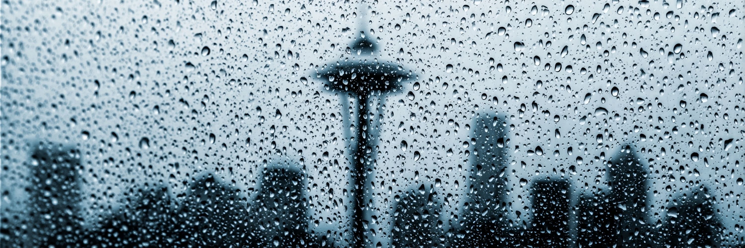

Skyvibe Seattle
@seattle.skyvibewx.com
The sky in Seattle is emotionally unstable, and so are we. Skyvibe Seattle brings you daily forecasts with dry wit, wet clouds, and regional commentary no umbrella can block. 🌧️ Rain. Snark. Repeat.
Showers linger tonight and into Thursday as snow levels dip to roughly 3500 to 4500 feet for a quick Cascade dusting. Flooding risks stay high even as the rain eases. Friday brings lighter showers north of Seattle while everything downstream keeps running a little too fast.
December 10, 2025 at 12:49 PM
Showers linger tonight and into Thursday as snow levels dip to roughly 3500 to 4500 feet for a quick Cascade dusting. Flooding risks stay high even as the rain eases. Friday brings lighter showers north of Seattle while everything downstream keeps running a little too fast.
Heavy rain is locked in all day as the atmospheric river refuses to clock out. Another 1 to 3 inches in the lowlands and up to 8 in the mountains. Rivers are already swollen and still climbing. Gusts hit 40 to 45 mph tonight, so expect soggy trees to rethink their posture.
December 10, 2025 at 12:49 PM
Heavy rain is locked in all day as the atmospheric river refuses to clock out. Another 1 to 3 inches in the lowlands and up to 8 in the mountains. Rivers are already swollen and still climbing. Gusts hit 40 to 45 mph tonight, so expect soggy trees to rethink their posture.
Rain reloads tonight, snow levels spike tomorrow, and temps push into the upper 50s. Flood risks stay firmly in play. Expect soggy commutes, warm springlike air, and a region wondering how many kinds of wet one week can hold.
December 9, 2025 at 1:16 PM
Rain reloads tonight, snow levels spike tomorrow, and temps push into the upper 50s. Flood risks stay firmly in play. Expect soggy commutes, warm springlike air, and a region wondering how many kinds of wet one week can hold.
Heavy rain returns tonight as the moisture plume swings north again. Lowlands can grab 2 to 3 more inches, mountains stack 5 to 8. Gusts hit 40 to 45 mph. Any break in the rain is a lie. Rivers stay high, flood stages keep climbing, drains complain loudly.
December 9, 2025 at 1:16 PM
Heavy rain returns tonight as the moisture plume swings north again. Lowlands can grab 2 to 3 more inches, mountains stack 5 to 8. Gusts hit 40 to 45 mph. Any break in the rain is a lie. Rivers stay high, flood stages keep climbing, drains complain loudly.
Rain eases for a quick breather Tuesday, then the moisture plume lifts north again and reloads the buckets. Flood risk stays high. Breezy nights, warm days in the 50s. Tomorrow looks like today but grumpier.
December 8, 2025 at 1:34 PM
Rain eases for a quick breather Tuesday, then the moisture plume lifts north again and reloads the buckets. Flood risk stays high. Breezy nights, warm days in the 50s. Tomorrow looks like today but grumpier.
Heavy rain parks over western Washington with 3 to 6 inches south of the city and double digits in the mountains. Gusts hit 50 to 55 mph on the coast. Rivers swell all day. Snow sneaks into the higher passes as the plume wobbles south Tuesday.
December 8, 2025 at 1:34 PM
Heavy rain parks over western Washington with 3 to 6 inches south of the city and double digits in the mountains. Gusts hit 50 to 55 mph on the coast. Rivers swell all day. Snow sneaks into the higher passes as the plume wobbles south Tuesday.
Tonight keeps the rain steady. Monday adds wind with gusts flirting with 40 mph, plus flood risks rising fast as rivers swell. The plume sags south by evening then snaps north Tuesday because the sky has strong opinions about dramatic pacing.
December 7, 2025 at 1:03 PM
Tonight keeps the rain steady. Monday adds wind with gusts flirting with 40 mph, plus flood risks rising fast as rivers swell. The plume sags south by evening then snaps north Tuesday because the sky has strong opinions about dramatic pacing.
Rain settles in and makes itself comfortable with 1 to 2 inches piling up in the Cascades and lighter totals in the lowlands. The real trouble arrives Monday as a powerful atmospheric river aims a deep plume south of Seattle and tries to outdo every previous mess.
December 7, 2025 at 1:03 PM
Rain settles in and makes itself comfortable with 1 to 2 inches piling up in the Cascades and lighter totals in the lowlands. The real trouble arrives Monday as a powerful atmospheric river aims a deep plume south of Seattle and tries to outdo every previous mess.
Minor coastal flooding hangs around through the weekend while another system rolls in Sunday. Monday is the main event as the atmospheric river opens the tap and forgets to close it. Heavy rain all day, then a Tuesday reload for extra misery.
December 6, 2025 at 1:57 PM
Minor coastal flooding hangs around through the weekend while another system rolls in Sunday. Monday is the main event as the atmospheric river opens the tap and forgets to close it. Heavy rain all day, then a Tuesday reload for extra misery.
Winds still flexing this morning with gusts near 50 along the coast. Convergence zone moodiness up north. Cascades grab 2 to 5 inches of rain and double digit snow at the passes. Snoqualmie toys with a wintry mix just to keep everyone guessing.
December 6, 2025 at 1:57 PM
Winds still flexing this morning with gusts near 50 along the coast. Convergence zone moodiness up north. Cascades grab 2 to 5 inches of rain and double digit snow at the passes. Snoqualmie toys with a wintry mix just to keep everyone guessing.
Showers ease tonight, but only for a moment. Another system drops in Sunday morning with more rain and falling snow levels. Highs hover in the 50s. The warm up act ends soon, because the atmospheric river is waiting backstage with a floodlight. Flood... literally.
December 5, 2025 at 1:10 PM
Showers ease tonight, but only for a moment. Another system drops in Sunday morning with more rain and falling snow levels. Highs hover in the 50s. The warm up act ends soon, because the atmospheric river is waiting backstage with a floodlight. Flood... literally.
Rain marches in from the northwest and parks itself over us all day. Cascades grab 2 to 3 inches, coast grabs 1 to 3, and Stevens Pass flirts with white out conditions later. Gusts hit 30 to 35 mph, so enjoy that premium horizontal rain.
December 5, 2025 at 1:10 PM
Rain marches in from the northwest and parks itself over us all day. Cascades grab 2 to 3 inches, coast grabs 1 to 3, and Stevens Pass flirts with white out conditions later. Gusts hit 30 to 35 mph, so enjoy that premium horizontal rain.
Cold front rolls in Friday and tries to rearrange your outdoor plans. Gusts hit 20 to 30 mph near the coast and Strait. Snow piles up in the Cascades with 10 to 12 inches at Stevens, even more near Baker. Weekend stays wet, loud, and generally rude.
December 4, 2025 at 1:17 PM
Cold front rolls in Friday and tries to rearrange your outdoor plans. Gusts hit 20 to 30 mph near the coast and Strait. Snow piles up in the Cascades with 10 to 12 inches at Stevens, even more near Baker. Weekend stays wet, loud, and generally rude.
Warm front taps the faucet and leaves it running. Expect a nice 0.25 to 0.5 inch Puget Sound rinse while the Cascades take 2 to 4 inches. Highs in the upper 40s. Snow stays high for now, then chills to 4000 ft Saturday. Basically, bring waterproof everything.
December 4, 2025 at 1:17 PM
Warm front taps the faucet and leaves it running. Expect a nice 0.25 to 0.5 inch Puget Sound rinse while the Cascades take 2 to 4 inches. Highs in the upper 40s. Snow stays high for now, then chills to 4000 ft Saturday. Basically, bring waterproof everything.
Rain creeps in after midnight, mostly north, lows near 40. Thursday brings steady rain, mild winds, highs in the mid 40s to low 50s. Friday ramps up with the strongest system of the week, rising snow levels, plus high tides flirting with coastal flooding.
December 3, 2025 at 1:40 PM
Rain creeps in after midnight, mostly north, lows near 40. Thursday brings steady rain, mild winds, highs in the mid 40s to low 50s. Friday ramps up with the strongest system of the week, rising snow levels, plus high tides flirting with coastal flooding.
Cloud blanket stays glued on today. Patchy fog lurking, temps crawling through the mid 40s. Northwest corner gets brushed by a warm front later today. Zero vibe, zero sun, full gray commitment. Tomorrow’s cold front gets louder.
December 3, 2025 at 1:40 PM
Cloud blanket stays glued on today. Patchy fog lurking, temps crawling through the mid 40s. Northwest corner gets brushed by a warm front later today. Zero vibe, zero sun, full gray commitment. Tomorrow’s cold front gets louder.
Nice! Soak it up.
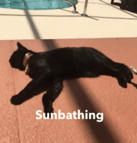
a black cat on a leash is sunbathing
ALT: a black cat on a leash is sunbathing
media.tenor.com
December 2, 2025 at 8:55 PM
Nice! Soak it up.