


Risk, Hazard & Climate Lab
@riskhazclimlab.bsky.social
Research Group Risk, Hazard & Climate Lab @zgis.bsky.social @unisalzburg.bsky.social
https://plus.ac.at/risk-hazard-climate
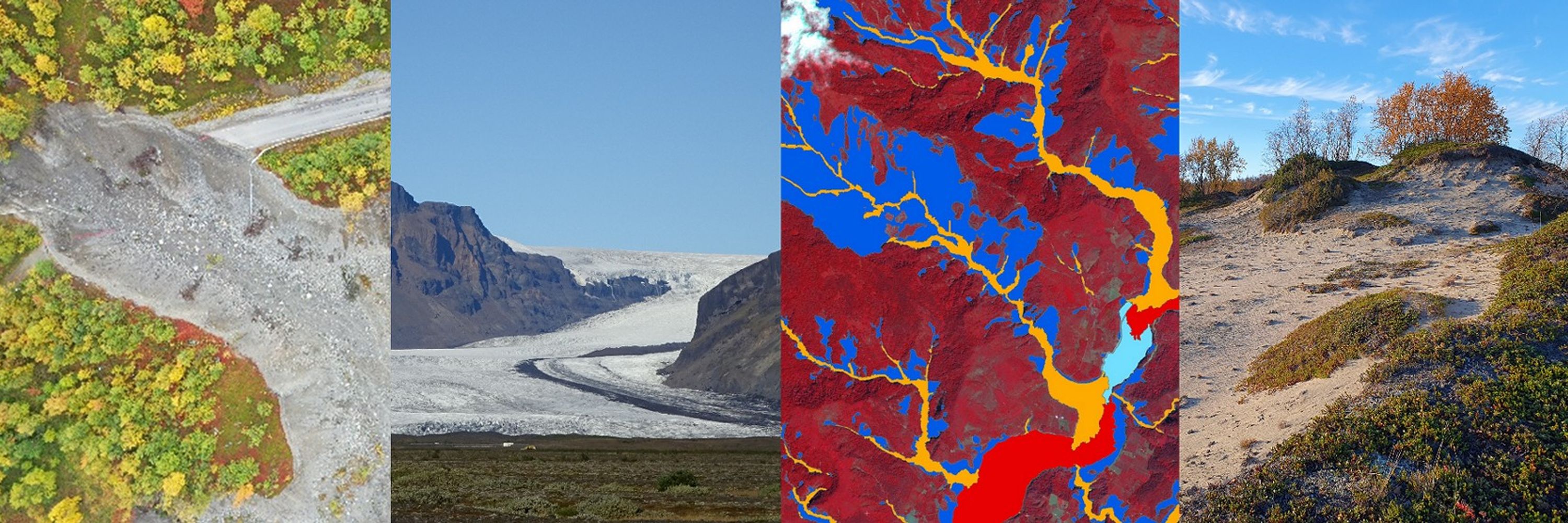
Remote Sensing and Geospatial Analysis for Natural Hazard and Risk Management. #NaturalHazards #EarthObservation #Geomorphology
https://plus.ac.at/risk-hazard-climate
Remote Sensing and Geospatial Analysis for Natural Hazard and Risk Management. #NaturalHazards #EarthObservation #Geomorphology
Hall X2 from 10:45 to 12:30 features work from our ReHIKE project:
X2.50 - Tracking river course dynamics in Alpine glacier forelands with #SITS presented by Lorena Abad
X2.55 - Glacier retreat and slope instabilities: impact on alpine infrastructure assessed with #InSAR presented by Zahra Dabiri
X2.50 - Tracking river course dynamics in Alpine glacier forelands with #SITS presented by Lorena Abad
X2.55 - Glacier retreat and slope instabilities: impact on alpine infrastructure assessed with #InSAR presented by Zahra Dabiri
April 28, 2025 at 5:26 AM