


Piotr Tompalski
@piotrtompalski.bsky.social
Research scientist, Canadian Forest Service.
#lidar #remotesensing and #forestry specialist, #R enthusiast.
https://www.researchgate.net/profile/Piotr-Tompalski
https://github.com/ptompalski
🌲🛰️🇵🇱🇨🇦
#lidar #remotesensing and #forestry specialist, #R enthusiast.
https://www.researchgate.net/profile/Piotr-Tompalski
https://github.com/ptompalski
🌲🛰️🇵🇱🇨🇦
All model coefficients are open access.
An R package (RSYC) offers access and visualization tools:
github.com/ptompalski/RSYC
An R package (RSYC) offers access and visualization tools:
github.com/ptompalski/RSYC
November 12, 2025 at 6:12 PM
All model coefficients are open access.
An R package (RSYC) offers access and visualization tools:
github.com/ptompalski/RSYC
An R package (RSYC) offers access and visualization tools:
github.com/ptompalski/RSYC
RSYC provides a consistent, scalable way to estimate aboveground biomass across managed and unmanaged forests, supporting carbon accounting and forest monitoring in Canada.
November 12, 2025 at 6:12 PM
RSYC provides a consistent, scalable way to estimate aboveground biomass across managed and unmanaged forests, supporting carbon accounting and forest monitoring in Canada.
Validation with independent field plots showed that the remote sensing yield curves (RSYC) generally achieved lower bias and RMSE than existing national models, with notable gains for black spruce and jack pine
November 12, 2025 at 6:12 PM
Validation with independent field plots showed that the remote sensing yield curves (RSYC) generally achieved lower bias and RMSE than existing national models, with notable gains for black spruce and jack pine
Using annual Landsat-based estimates of forest age, species, and biomass, we developed over 1,800 yield curves for 27 species and three broader forest-type groups (coniferous, broadleaf, and generic).
Models were fitted at a 150 km tile level, balancing national consistency with local adaptation.
Models were fitted at a 150 km tile level, balancing national consistency with local adaptation.
November 12, 2025 at 6:12 PM
Using annual Landsat-based estimates of forest age, species, and biomass, we developed over 1,800 yield curves for 27 species and three broader forest-type groups (coniferous, broadleaf, and generic).
Models were fitted at a 150 km tile level, balancing national consistency with local adaptation.
Models were fitted at a 150 km tile level, balancing national consistency with local adaptation.
Thanks so much! We had a lot of fun putting this together. Glad you enjoyed the visualization!
November 12, 2025 at 5:23 PM
Thanks so much! We had a lot of fun putting this together. Glad you enjoyed the visualization!
It was wonderful to reconnect with old friends and colleagues, and just as exciting to make new ones.
A huge thank you to the organizers — what a well-organized and energizing conference!
#SilviLaser2025 #RemoteSensing #Forestry #LiDAR
A huge thank you to the organizers — what a well-organized and energizing conference!
#SilviLaser2025 #RemoteSensing #Forestry #LiDAR
October 3, 2025 at 4:39 PM
It was wonderful to reconnect with old friends and colleagues, and just as exciting to make new ones.
A huge thank you to the organizers — what a well-organized and energizing conference!
#SilviLaser2025 #RemoteSensing #Forestry #LiDAR
A huge thank you to the organizers — what a well-organized and energizing conference!
#SilviLaser2025 #RemoteSensing #Forestry #LiDAR
@dr-spoon.bsky.social you're on fire!!!
September 8, 2025 at 8:55 PM
@dr-spoon.bsky.social you're on fire!!!
We're also working to keep this information up to date on this website:
📍 Canada's Forest LiDAR Coverage➡️ ptompalski.github.io/CanadaForest...
#ForestScience #LiDAR #SustainableForestry #RemoteSensing #ForestManagement #CanadaForests
📍 Canada's Forest LiDAR Coverage➡️ ptompalski.github.io/CanadaForest...
#ForestScience #LiDAR #SustainableForestry #RemoteSensing #ForestManagement #CanadaForests
ALS data coverage in Canadian forests
ptompalski.github.io
March 10, 2025 at 4:58 PM
We're also working to keep this information up to date on this website:
📍 Canada's Forest LiDAR Coverage➡️ ptompalski.github.io/CanadaForest...
#ForestScience #LiDAR #SustainableForestry #RemoteSensing #ForestManagement #CanadaForests
📍 Canada's Forest LiDAR Coverage➡️ ptompalski.github.io/CanadaForest...
#ForestScience #LiDAR #SustainableForestry #RemoteSensing #ForestManagement #CanadaForests
📄 White et al. 2025 – Enhanced Forest Inventories in Canada: Implementation, Status, and Research Needs
🔗 Read here: cdnsciencepub.com/doi/10.1139/...
🔗 Read here: cdnsciencepub.com/doi/10.1139/...
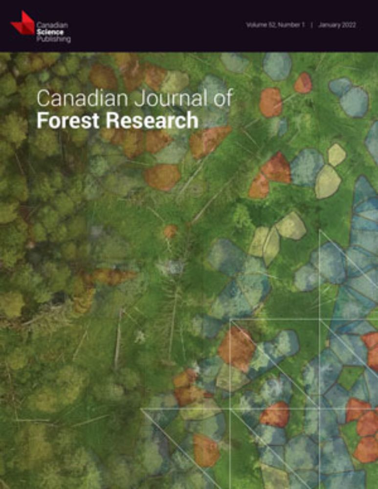
Enhanced forest inventories in Canada: implementation, status, and research needs
Forest inventory practices in Canada have evolved over time with changes in forest management priorities, advances in technology, fluctuations in the marketplace, societal expectations, and generation...
cdnsciencepub.com
March 10, 2025 at 4:58 PM
📄 White et al. 2025 – Enhanced Forest Inventories in Canada: Implementation, Status, and Research Needs
🔗 Read here: cdnsciencepub.com/doi/10.1139/...
🔗 Read here: cdnsciencepub.com/doi/10.1139/...
If you'd like to learn more or give it a try, you can find it here: [ptompalski.github.io/lidRmetrics/](ptompalski.github.io/lidRmetrics/ "https://ptompalski.github.io/lidRmetrics/")
#Lidar #Forestry #RemoteSensing #RStats
#Lidar #Forestry #RemoteSensing #RStats
Point cloud metrics for the lidR package.
Several pre-defined sets of point cloud metrics to use with the lidR package *_metric functions.
ptompalski.github.io
January 27, 2025 at 5:26 PM
If you'd like to learn more or give it a try, you can find it here: [ptompalski.github.io/lidRmetrics/](ptompalski.github.io/lidRmetrics/ "https://ptompalski.github.io/lidRmetrics/")
#Lidar #Forestry #RemoteSensing #RStats
#Lidar #Forestry #RemoteSensing #RStats
For convenience, `lidRmetrics` also includes "metric sets"—predefined combinations of multiple metric groups that allow for comprehensive analysis with a single function call.
January 27, 2025 at 5:26 PM
For convenience, `lidRmetrics` also includes "metric sets"—predefined combinations of multiple metric groups that allow for comprehensive analysis with a single function call.
The package organizes metrics into specific functions:
- `metrics_basic()` – general point cloud statistics
- `metrics_percentiles()` – height percentiles
- `metrics_percabove()` & `metrics_dispersion()` – assess vertical structure
- `metrics_echo()` & `metrics_echo2()` – return type proportions
- `metrics_basic()` – general point cloud statistics
- `metrics_percentiles()` – height percentiles
- `metrics_percabove()` & `metrics_dispersion()` – assess vertical structure
- `metrics_echo()` & `metrics_echo2()` – return type proportions
January 27, 2025 at 5:26 PM
The package organizes metrics into specific functions:
- `metrics_basic()` – general point cloud statistics
- `metrics_percentiles()` – height percentiles
- `metrics_percabove()` & `metrics_dispersion()` – assess vertical structure
- `metrics_echo()` & `metrics_echo2()` – return type proportions
- `metrics_basic()` – general point cloud statistics
- `metrics_percentiles()` – height percentiles
- `metrics_percabove()` & `metrics_dispersion()` – assess vertical structure
- `metrics_echo()` & `metrics_echo2()` – return type proportions
I was surprised it worked!
December 6, 2024 at 2:16 AM
I was surprised it worked!