


Dewey Dunnington
@paleolimbot.bsky.social
Scaling spatial computing at Wherobots, Inc. ApacheArrow PMC, #gischat, #rstats, ex Voltron Data.
#30DayMapChallenege day 24: The Mud Lakes of Nova Scotia! Here I use the SedonaDB #Rstats bindings with ggspatial+utils for the cartography. The Nova Scotia boundary here is from Overture Maps "divisions" which works great in SedonaDB/R! dewey.dunnington.ca/post/2025/da...

November 24, 2025 at 3:37 PM
#30DayMapChallenege day 24: The Mud Lakes of Nova Scotia! Here I use the SedonaDB #Rstats bindings with ggspatial+utils for the cartography. The Nova Scotia boundary here is from Overture Maps "divisions" which works great in SedonaDB/R! dewey.dunnington.ca/post/2025/da...
It was a joy today to present alongside fellow DataFusion contributors and users at the @apachedatafusion.bsky.social meetup in Boston! Slides from my talk are at dewey.dunnington.ca/slides/df2025 and hopefully the others will be posted soon!

November 13, 2025 at 3:17 AM
It was a joy today to present alongside fellow DataFusion contributors and users at the @apachedatafusion.bsky.social meetup in Boston! Slides from my talk are at dewey.dunnington.ca/slides/df2025 and hopefully the others will be posted soon!
Day 6 of the #30DayMapChallenege is Dimensions! Here I create a beautiful space-time dataset with M values and a proper temporal CRS with SedonaDB...and then ignore it because I couldn't find a tool that can animate M values (let me know if there is one!). dewey.dunnington.ca/post/2025/da...
November 7, 2025 at 3:20 PM
Day 6 of the #30DayMapChallenege is Dimensions! Here I create a beautiful space-time dataset with M values and a proper temporal CRS with SedonaDB...and then ignore it because I couldn't find a tool that can animate M values (let me know if there is one!). dewey.dunnington.ca/post/2025/da...
Day 5 of the #30DayMapChallenege! In which I attempt simple LiDAR processing for the first time using SedonaDB. Behold...a high-resolution elevation map of what's under my feet in my hometown of Winnipeg, Manitoba. Code + walk through included! dewey.dunnington.ca/post/2025/da...

November 6, 2025 at 3:02 PM
Day 5 of the #30DayMapChallenege! In which I attempt simple LiDAR processing for the first time using SedonaDB. Behold...a high-resolution elevation map of what's under my feet in my hometown of Winnipeg, Manitoba. Code + walk through included! dewey.dunnington.ca/post/2025/da...
#30DayMapChallenge day three is polygons...here's a map I made for my Ph.D. thesis...a standard Fig 1 for lakes papers. This paper is about land use and how it is resolved in sediment, so I tried to communicate urban development in each catchment using very thin roads. This one is 100% QGIS!

November 3, 2025 at 3:22 PM
#30DayMapChallenge day three is polygons...here's a map I made for my Ph.D. thesis...a standard Fig 1 for lakes papers. This paper is about land use and how it is resolved in sediment, so I tried to communicate urban development in each catchment using very thin roads. This one is 100% QGIS!
#30DayMapChallenege day two is lines! Here's an animated version of the stream traversal with SedonaDB post I made a few weeks ago but using the Gaspereau River, which drains Gaspereau Lake (featured in day one). dewey.dunnington.ca/post/2025/da...
November 2, 2025 at 1:43 PM
#30DayMapChallenege day two is lines! Here's an animated version of the stream traversal with SedonaDB post I made a few weeks ago but using the Gaspereau River, which drains Gaspereau Lake (featured in day one). dewey.dunnington.ca/post/2025/da...
Day 1 of the #30DayMapChallenege is points! This one is entitled "Always Plot Your Test Data"...I've been using data called ns-water_point for a long time without properly inspecting it. It turns out the points are almost all rocks! They're pretty much all rocks. dewey.dunnington.ca/post/2025/da...

November 1, 2025 at 2:58 PM
Day 1 of the #30DayMapChallenege is points! This one is entitled "Always Plot Your Test Data"...I've been using data called ns-water_point for a long time without properly inspecting it. It turns out the points are almost all rocks! They're pretty much all rocks. dewey.dunnington.ca/post/2025/da...
There are a number of plonked files at geoarrow.org/data served via http that all can do this kind of partial read. Any web server that can handle a range request will do (also required for FGB/COG)!

October 16, 2025 at 5:27 PM
There are a number of plonked files at geoarrow.org/data served via http that all can do this kind of partial read. Any web server that can handle a range request will do (also required for FGB/COG)!
I'll write a post soon specifically on #rstats, but this week's post includes a full example of how SedonaDB can do this just as well in R as it can in Python!

October 16, 2025 at 3:03 PM
I'll write a post soon specifically on #rstats, but this week's post includes a full example of how SedonaDB can do this just as well in R as it can in Python!
A new version of @arrow.apache.org is out! I'm personally excited about the Parquet support for Geometry/Geography but there's a lot of other great features in this release...check out the release post for all the details! arrow.apache.org/blog/2025/07...

July 22, 2025 at 2:33 PM
A new version of @arrow.apache.org is out! I'm personally excited about the Parquet support for Geometry/Geography but there's a lot of other great features in this release...check out the release post for all the details! arrow.apache.org/blog/2025/07...
Finally…we have great test data! This has been essential for testing our bindings and integrations with other libraries but also makes it easy (and far less boring) to generate non-trivial examples when writing about our work.

May 27, 2025 at 4:27 PM
Finally…we have great test data! This has been essential for testing our bindings and integrations with other libraries but also makes it easy (and far less boring) to generate non-trivial examples when writing about our work.
We’ve also worked hard over the last year to improve our language bindings in Rust, C/C++, R, and Python! Wherever you can find @arrow.apache.org, there's (probably) a GeoArrow implementation to help.


May 27, 2025 at 4:27 PM
We’ve also worked hard over the last year to improve our language bindings in Rust, C/C++, R, and Python! Wherever you can find @arrow.apache.org, there's (probably) a GeoArrow implementation to help.
Since our first release, GeoArrow has been adopted by GeoPandas, GDAL, Apache Sedona, @duckdb.org, Lonboard, Kepler.gl, and others. It has never been easier (or faster) to get spatial data from one tool into another!

May 27, 2025 at 4:27 PM
Since our first release, GeoArrow has been adopted by GeoPandas, GDAL, Apache Sedona, @duckdb.org, Lonboard, Kepler.gl, and others. It has never been easier (or faster) to get spatial data from one tool into another!
We’re chuffed to announce the 0.2 release of the GeoArrow specification! We released the first version in September, 2023 and have since worked with the community towards our vision that getting spatial data from one library to another should be fast, easy, and preserve properties like the CRS.
May 27, 2025 at 4:27 PM
We’re chuffed to announce the 0.2 release of the GeoArrow specification! We released the first version in September, 2023 and have since worked with the community towards our vision that getting spatial data from one library to another should be fast, easy, and preserve properties like the CRS.
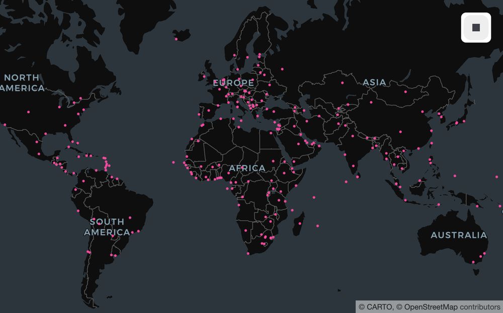
Excited to present at #GeoPython2025 in beautiful Basel, Switzerland! This one's on a brand-new 'geography' extension for @duckdb.org and a few examples of how the Geography and S2Cell/Center/Union types can help scale workflows for truly global extents. Slides @ dewey.dunnington.ca/slides/geopy...!


February 25, 2025 at 10:27 AM
Excited to present at #GeoPython2025 in beautiful Basel, Switzerland! This one's on a brand-new 'geography' extension for @duckdb.org and a few examples of how the Geography and S2Cell/Center/Union types can help scale workflows for truly global extents. Slides @ dewey.dunnington.ca/slides/geopy...!