


André Walter
@megapeng.bsky.social
Ambizione Grant Holder @ University of Zurich, Lecturer @ University of St. Gallen.
Reposted by André Walter

This looks great!! If you are interested in linking it to other data on ethnic groups (in Africa), you may find it helpful to add your groups to our ethnic data linkage project: github.com/carl-mc/LEDA
GitHub - carl-mc/LEDA: Linking Ethnic Data from Africa
Linking Ethnic Data from Africa. Contribute to carl-mc/LEDA development by creating an account on GitHub.
github.com
June 3, 2025 at 5:39 PM
This looks great!! If you are interested in linking it to other data on ethnic groups (in Africa), you may find it helpful to add your groups to our ethnic data linkage project: github.com/carl-mc/LEDA
📄 Working paper: www.researchgate.net/publication/...
💾 Data: github.com/AndreWal/atlas
#econsky #polisky
💾 Data: github.com/AndreWal/atlas
#econsky #polisky
June 3, 2025 at 4:17 PM
📄 Working paper: www.researchgate.net/publication/...
💾 Data: github.com/AndreWal/atlas
#econsky #polisky
💾 Data: github.com/AndreWal/atlas
#econsky #polisky
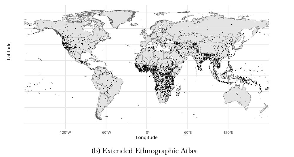
• 3,000 group-location observations – more than twice the size of the current EA, and three times the size of Murdock’s original.
• Lat/Long coordinates for spatial mapping
• Data on population size in 1960 for most groups, helpful for aggregation and spatial interpolation.
• Lat/Long coordinates for spatial mapping
• Data on population size in 1960 for most groups, helpful for aggregation and spatial interpolation.
June 3, 2025 at 4:17 PM
• 3,000 group-location observations – more than twice the size of the current EA, and three times the size of Murdock’s original.
• Lat/Long coordinates for spatial mapping
• Data on population size in 1960 for most groups, helpful for aggregation and spatial interpolation.
• Lat/Long coordinates for spatial mapping
• Data on population size in 1960 for most groups, helpful for aggregation and spatial interpolation.
The data can be found here: dataverse.harvard.edu/dataset.xhtm...
dataverse.harvard.edu
May 2, 2025 at 12:36 PM
The data can be found here: dataverse.harvard.edu/dataset.xhtm...
The result: a comprehensive dataset of 1.3 million observations covering 600+ national votes over more than 150 years.
The article describing the dataset and illustrating its potential uses is available here: onlinelibrary.wiley.com/doi/full/10....
The article describing the dataset and illustrating its potential uses is available here: onlinelibrary.wiley.com/doi/full/10....
LinkedIn
This link will take you to a page that’s not on LinkedIn
lnkd.in
May 2, 2025 at 12:36 PM
The result: a comprehensive dataset of 1.3 million observations covering 600+ national votes over more than 150 years.
The article describing the dataset and illustrating its potential uses is available here: onlinelibrary.wiley.com/doi/full/10....
The article describing the dataset and illustrating its potential uses is available here: onlinelibrary.wiley.com/doi/full/10....
Sounds like you are looking for something like bayesian model averaging: www.cambridge.org/core/journal...
Bayesian Model Averaging: Theoretical Developments and Practical Applications | Political Analysis | Cambridge Core
Bayesian Model Averaging: Theoretical Developments and Practical Applications - Volume 18 Issue 2
www.cambridge.org
March 9, 2025 at 12:00 AM
Sounds like you are looking for something like bayesian model averaging: www.cambridge.org/core/journal...
I don't think this outmigration has been "political" neutral because it followed specific demographic patterns like education, age, or gender. Is there no research on that?
February 24, 2025 at 11:55 AM
I don't think this outmigration has been "political" neutral because it followed specific demographic patterns like education, age, or gender. Is there no research on that?