


dgplacenames (now in Orkney)
@dgplacenames.bsky.social
Place-names, maps, languages. dgplacenames.wordpress.com
auldnorse.wordpress.com/owersettins/
auldnorse.wordpress.com/owersettins/
Progress

November 26, 2025 at 8:10 PM
Progress

Our new South Ronaldsay field-names site is up and running:
fieldsoftime.cmackenzie.net
fieldsoftime.cmackenzie.net

November 24, 2025 at 12:18 AM
Our new South Ronaldsay field-names site is up and running:
fieldsoftime.cmackenzie.net
fieldsoftime.cmackenzie.net
That's my georeferenced map viewer up and running
maps.cmackenzie.net/viewer.html#...
maps.cmackenzie.net/viewer.html#...

November 23, 2025 at 4:09 PM
That's my georeferenced map viewer up and running
maps.cmackenzie.net/viewer.html#...
maps.cmackenzie.net/viewer.html#...
Being able to control opacity lets you compare names on the overlay map and the base layer. Here you can see Hap of Myre on the esate plan and Bay of Myre on the OS 1st ed

November 23, 2025 at 11:25 AM
Being able to control opacity lets you compare names on the overlay map and the base layer. Here you can see Hap of Myre on the esate plan and Bay of Myre on the OS 1st ed
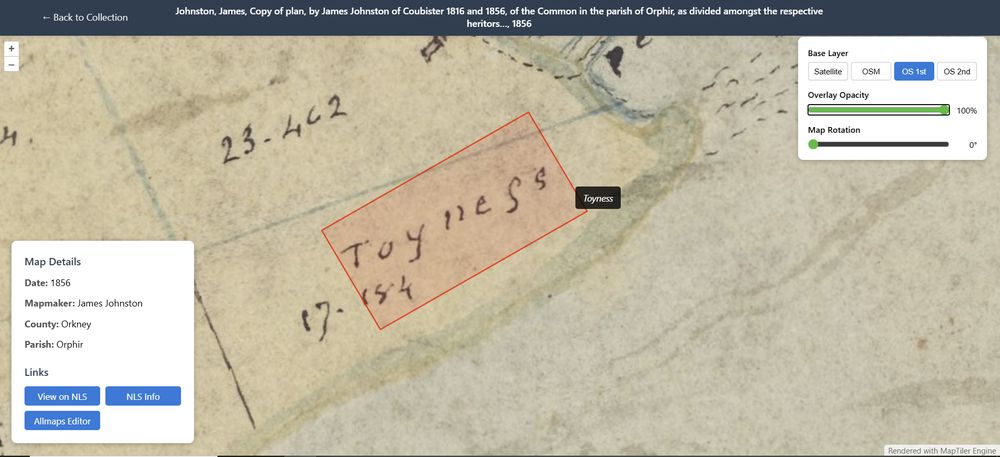
Managed to link up Allmaps and Recogito
Added labelled polygons to the map using Recogito, georeferenced the map with Allmaps, and used the Allmaps OpenLayers plugin to warp both the image and the transcription polygon.
Not bad for a one day's vibe coding
Added labelled polygons to the map using Recogito, georeferenced the map with Allmaps, and used the Allmaps OpenLayers plugin to warp both the image and the transcription polygon.
Not bad for a one day's vibe coding
November 22, 2025 at 11:40 PM
Managed to link up Allmaps and Recogito
Added labelled polygons to the map using Recogito, georeferenced the map with Allmaps, and used the Allmaps OpenLayers plugin to warp both the image and the transcription polygon.
Not bad for a one day's vibe coding
Added labelled polygons to the map using Recogito, georeferenced the map with Allmaps, and used the Allmaps OpenLayers plugin to warp both the image and the transcription polygon.
Not bad for a one day's vibe coding
Spotted!

November 22, 2025 at 7:37 PM
Spotted!


Been georeferencing maps from the NLS on Allmaps. Can now link those annotations up to a viewer where you can change background layers. Next challenge is to link up annotations made using Recogito.

November 22, 2025 at 12:58 PM
Been georeferencing maps from the NLS on Allmaps. Can now link those annotations up to a viewer where you can change background layers. Next challenge is to link up annotations made using Recogito.
Fulfilled my ambition tonight of speaking at an event with a raffle.
Also great to speak to an audience that brings along 18th estate maps
Also great to speak to an audience that brings along 18th estate maps

November 20, 2025 at 9:27 PM
Fulfilled my ambition tonight of speaking at an event with a raffle.
Also great to speak to an audience that brings along 18th estate maps
Also great to speak to an audience that brings along 18th estate maps
New web map roughed out
Should be good to go live on Thursday
Should be good to go live on Thursday

November 19, 2025 at 12:19 AM
New web map roughed out
Should be good to go live on Thursday
Should be good to go live on Thursday
An anthropotoponym is a place-name derived from the name of a person, like Herston (from Hǫrðr)
A zootoponym is a place-name derived from an animal, like Scarf Skerry (from scarf 'cormorant')
I don't think we have a category for names like Dora's park, where Dora is a pony
A zootoponym is a place-name derived from an animal, like Scarf Skerry (from scarf 'cormorant')
I don't think we have a category for names like Dora's park, where Dora is a pony

November 18, 2025 at 9:10 PM
An anthropotoponym is a place-name derived from the name of a person, like Herston (from Hǫrðr)
A zootoponym is a place-name derived from an animal, like Scarf Skerry (from scarf 'cormorant')
I don't think we have a category for names like Dora's park, where Dora is a pony
A zootoponym is a place-name derived from an animal, like Scarf Skerry (from scarf 'cormorant')
I don't think we have a category for names like Dora's park, where Dora is a pony
Forgot Rousay

November 18, 2025 at 8:27 PM
Forgot Rousay
How we compare

November 18, 2025 at 8:20 PM
How we compare
Didn't think @orkneylibrary.bsky.social could get any cooler, but discovered this evening that they have a set of Íslenzk fornit editions

November 18, 2025 at 7:35 PM
Didn't think @orkneylibrary.bsky.social could get any cooler, but discovered this evening that they have a set of Íslenzk fornit editions
Yaaaassss! I love a Dodd place-name!

November 18, 2025 at 4:51 PM
Yaaaassss! I love a Dodd place-name!
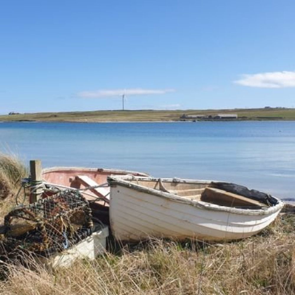
That us up to 300 South Ronaldsay fields plotted

November 17, 2025 at 11:59 PM
That us up to 300 South Ronaldsay fields plotted
21 year antedating of Scots LAKE 'a hollow part of the tideway'
Plan of part of the Solway Firth, Dumfriesshire~ [RHP579/2]
Plan of part of the Solway Firth, Dumfriesshire~ [RHP579/2]

November 17, 2025 at 8:17 PM
21 year antedating of Scots LAKE 'a hollow part of the tideway'
Plan of part of the Solway Firth, Dumfriesshire~ [RHP579/2]
Plan of part of the Solway Firth, Dumfriesshire~ [RHP579/2]
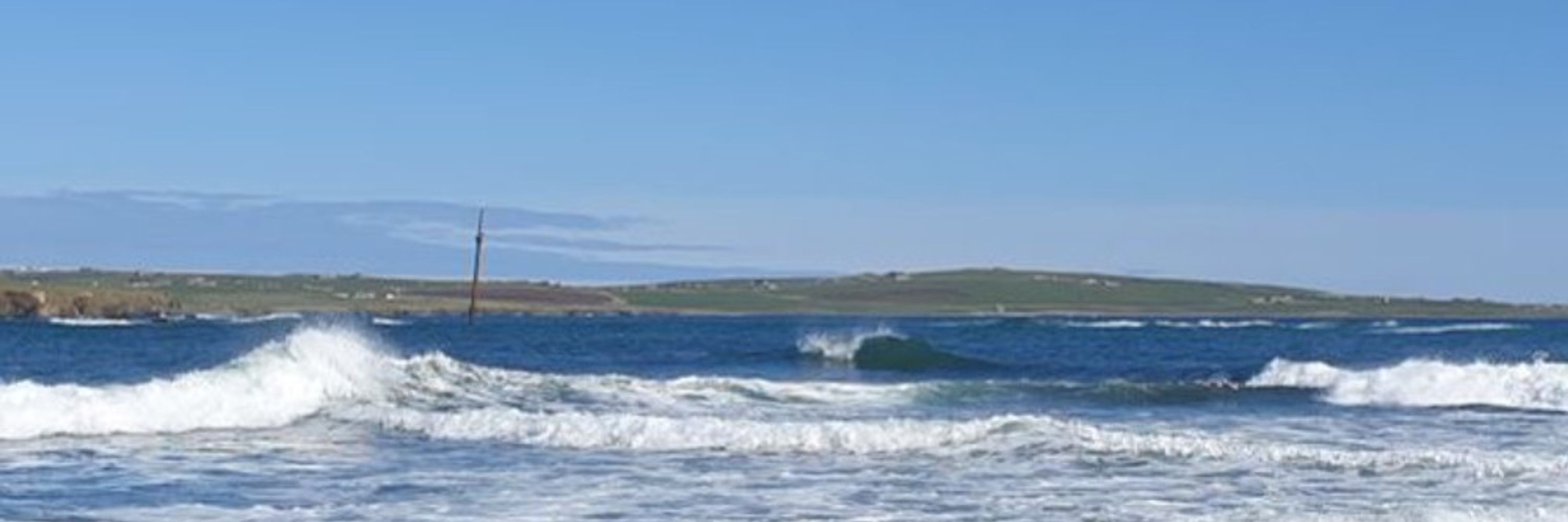
Google Street View shows the sign to Kirkwall in St Margaret's Hope regressing to Kirkwa. We'll be back to in Kirkjuvágr in a few years


November 16, 2025 at 11:10 PM
Google Street View shows the sign to Kirkwall in St Margaret's Hope regressing to Kirkwa. We'll be back to in Kirkjuvágr in a few years
The 2nd element in Widewall, South Ronaldsay, is Old Norse vágr 'bay'. The change from -vágr to -wa to -wall is also seen in Kirkwall/Kirkjuvágr.
Adair's (1682) 'The Mappe of Orkney with the harbours and Islands' shows Wydwa, though -wall forms are on record from 1500.
maps.nls.uk/view/1005
Adair's (1682) 'The Mappe of Orkney with the harbours and Islands' shows Wydwa, though -wall forms are on record from 1500.
maps.nls.uk/view/1005

November 16, 2025 at 11:05 PM
The 2nd element in Widewall, South Ronaldsay, is Old Norse vágr 'bay'. The change from -vágr to -wa to -wall is also seen in Kirkwall/Kirkjuvágr.
Adair's (1682) 'The Mappe of Orkney with the harbours and Islands' shows Wydwa, though -wall forms are on record from 1500.
maps.nls.uk/view/1005
Adair's (1682) 'The Mappe of Orkney with the harbours and Islands' shows Wydwa, though -wall forms are on record from 1500.
maps.nls.uk/view/1005
First swatch!

November 16, 2025 at 10:07 AM
First swatch!
I see that Mackenzie's South isles of Orkney has Horse (South Ronaldsay) where Hesta Head and Hesta Rock are now
maps.nls.uk/geo/explore/...
maps.nls.uk/geo/explore/...

November 15, 2025 at 5:07 PM
I see that Mackenzie's South isles of Orkney has Horse (South Ronaldsay) where Hesta Head and Hesta Rock are now
maps.nls.uk/geo/explore/...
maps.nls.uk/geo/explore/...
Swillie de Stroma
Tournant d'eau pendant le flot
Carte des Isles Orcades, 1804
Tournant d'eau pendant le flot
Carte des Isles Orcades, 1804

November 14, 2025 at 10:02 PM
Swillie de Stroma
Tournant d'eau pendant le flot
Carte des Isles Orcades, 1804
Tournant d'eau pendant le flot
Carte des Isles Orcades, 1804
Whirl Pool occasioned by many Tides meeting but not so Dangerous as is Reported
George Eunson (1795) 'A chart of the islands of Orkney... with the coast of Scotland'
maps.nls.uk/view/74401125
George Eunson (1795) 'A chart of the islands of Orkney... with the coast of Scotland'
maps.nls.uk/view/74401125

November 14, 2025 at 9:40 PM
Whirl Pool occasioned by many Tides meeting but not so Dangerous as is Reported
George Eunson (1795) 'A chart of the islands of Orkney... with the coast of Scotland'
maps.nls.uk/view/74401125
George Eunson (1795) 'A chart of the islands of Orkney... with the coast of Scotland'
maps.nls.uk/view/74401125