


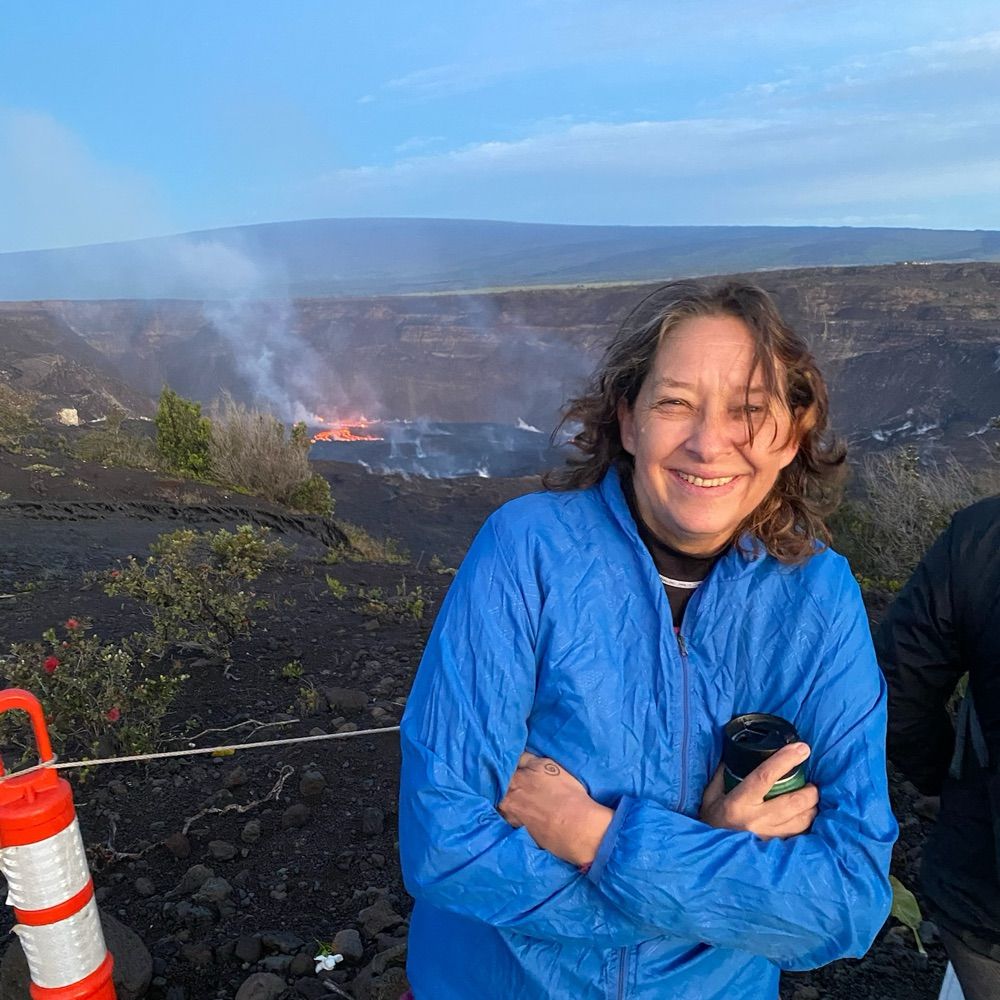
cindi preller
@coyotegals.bsky.social
supporting science, empathy, and solidarity.
Reposted by cindi preller
Both of our #RaspberryShake seismographs (Makakilo and Pacific Tsunami Museum) recorded this evening's M6.4 #earthquake near Tonga. The depth of ~240 km / 150 mi. means it occurred within the Wadati-Benioff zone, i.e., the down-going slab beneath this volcanic arc.
en.wikipedia.org/wiki/Wadati%...
en.wikipedia.org/wiki/Wadati%...


May 14, 2025 at 5:16 AM
Both of our #RaspberryShake seismographs (Makakilo and Pacific Tsunami Museum) recorded this evening's M6.4 #earthquake near Tonga. The depth of ~240 km / 150 mi. means it occurred within the Wadati-Benioff zone, i.e., the down-going slab beneath this volcanic arc.
en.wikipedia.org/wiki/Wadati%...
en.wikipedia.org/wiki/Wadati%...
Reposted by cindi preller
Both of our #RaspberryShake seismographs (Makakilo and Pacific Tsunami Musuem) recorded this afternoon's M3.6 #earthquake near the Hāmākua Coast of Hawaiʻi Island. Like other deep earthquakes in Hawaiʻi this event likely results from the weight of the islands bending the earth's lithosphere.


May 3, 2025 at 1:35 AM
Both of our #RaspberryShake seismographs (Makakilo and Pacific Tsunami Musuem) recorded this afternoon's M3.6 #earthquake near the Hāmākua Coast of Hawaiʻi Island. Like other deep earthquakes in Hawaiʻi this event likely results from the weight of the islands bending the earth's lithosphere.
Reposted by cindi preller

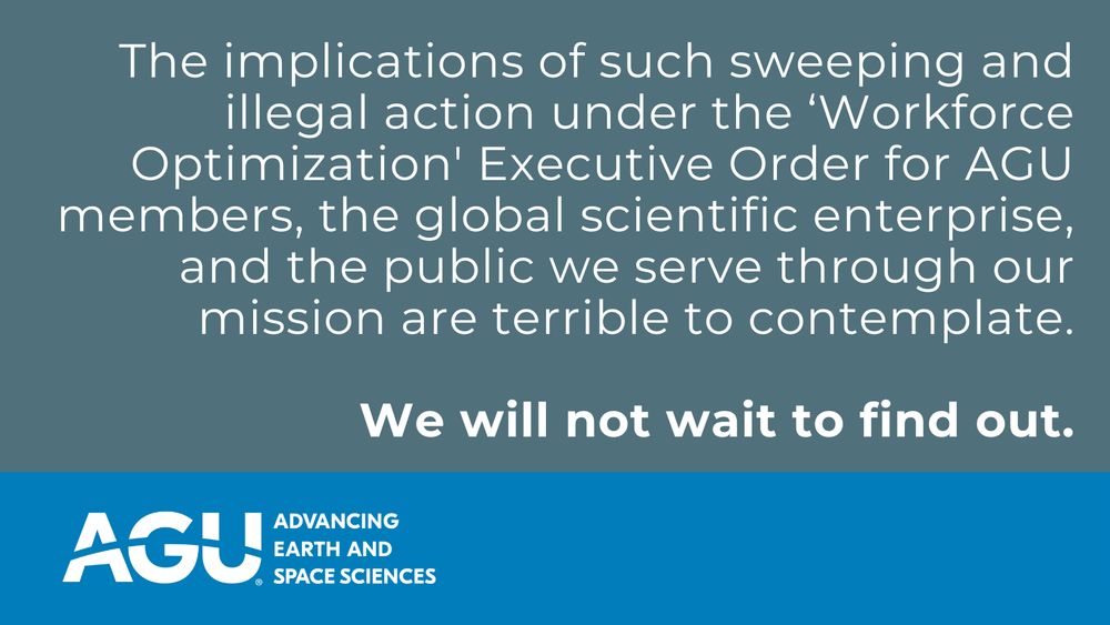
AGU has filed a new lawsuit to prevent the Administration’s dismantling of U.S. scientific agencies.
We’re proud to take this stand with our plaintiffs’ coalition for our federal workforce.
buff.ly/3U56ooz
We’re proud to take this stand with our plaintiffs’ coalition for our federal workforce.
buff.ly/3U56ooz
April 29, 2025 at 12:15 AM
AGU has filed a new lawsuit to prevent the Administration’s dismantling of U.S. scientific agencies.
We’re proud to take this stand with our plaintiffs’ coalition for our federal workforce.
buff.ly/3U56ooz
We’re proud to take this stand with our plaintiffs’ coalition for our federal workforce.
buff.ly/3U56ooz
Reposted by cindi preller
Kamaʻehuakanaloa (Lōʻihi) Seamount continues to have earthquakes, such as the M3.9 event recorded this morning by our #RaspberryShake seismograph at the Pacific Tsunami Museum (tsunami.org).

April 27, 2025 at 12:50 AM
Kamaʻehuakanaloa (Lōʻihi) Seamount continues to have earthquakes, such as the M3.9 event recorded this morning by our #RaspberryShake seismograph at the Pacific Tsunami Museum (tsunami.org).
Reposted by cindi preller
Our #RaspberryShake seismograph at the Pacific Tsunami Museum recorded the M7.7 #earthquake in Myanmar nearly 11,000 km (6800 mi.) away. Being able to record such a distant earthquake indicates just how powerful it was. This power plus its shallow depth means it was likely very destructive.

March 28, 2025 at 7:58 AM
Our #RaspberryShake seismograph at the Pacific Tsunami Museum recorded the M7.7 #earthquake in Myanmar nearly 11,000 km (6800 mi.) away. Being able to record such a distant earthquake indicates just how powerful it was. This power plus its shallow depth means it was likely very destructive.
Reposted by cindi preller
Our #RaspberryShake at the Pacific Tsunami Museum recorded this morning's M3.2 #earthquake under Kīlauea #Volcano. Given its location it likely occurred at the basal detachment fault between the young volcano and old sea floor. This fault produced large earthquakes and tsunamis in 1975 and 2018.

February 28, 2025 at 8:12 AM
Our #RaspberryShake at the Pacific Tsunami Museum recorded this morning's M3.2 #earthquake under Kīlauea #Volcano. Given its location it likely occurred at the basal detachment fault between the young volcano and old sea floor. This fault produced large earthquakes and tsunamis in 1975 and 2018.