


BoulderCAST Weather 🏔️⛈️
@bouldercast.com
The official BlueSky account of BoulderCAST, a team of local meteorologists that forecast Boulder and Denver weather as well as nearby mountain conditions.


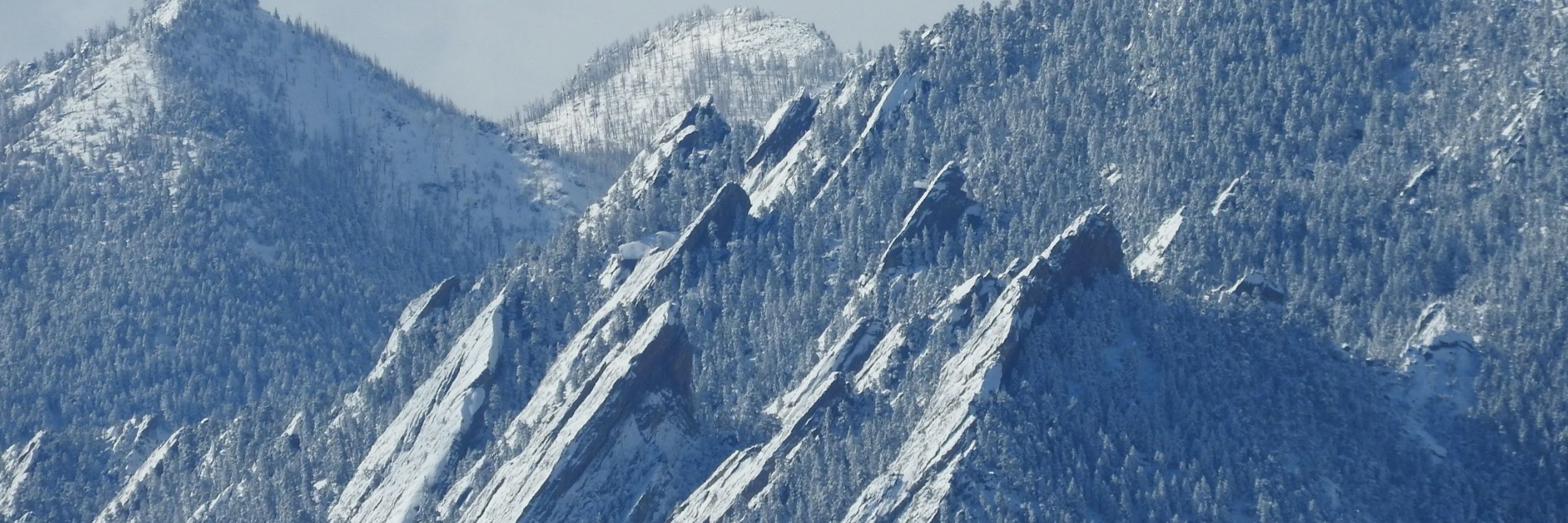
Happy sunny Saturday! Downslope will erode the cold air that came in with last night's cold through the day. Seeing some bigtime temperature gradients out there this morning, including a 30F difference right now between SW (warm) and NE (cold) Boulder! #COWX

January 31, 2026 at 4:49 PM
Happy sunny Saturday! Downslope will erode the cold air that came in with last night's cold through the day. Seeing some bigtime temperature gradients out there this morning, including a 30F difference right now between SW (warm) and NE (cold) Boulder! #COWX

Seasonal snowfall to date in the Front Range is tracking well below normal. Most of the Denver area has only received 10-20 inches, while Boulder, the western suburbs and the Foothills has seen 20-30 inches. #COWx

January 29, 2026 at 7:12 PM
Seasonal snowfall to date in the Front Range is tracking well below normal. Most of the Denver area has only received 10-20 inches, while Boulder, the western suburbs and the Foothills has seen 20-30 inches. #COWx
An Arctic front will brush the area Friday evening with a chance of flurries, but we're in for a mostly dry, quiet and warm transition into February.
This & more in today's *Premium* weekend outlook: bouldercast.com/this-weekend... #COWX
This & more in today's *Premium* weekend outlook: bouldercast.com/this-weekend... #COWX

This Weekend in Colorado Weather: An Arctic front will brush the area Friday evening, but the weekend looks lovely!
❄️ Overnight quick-hitter: A fast disturbance brought light Mountain snow, a weak front, and some breezy northwest winds last night before racing off into Kansas and Oklahoma. 🌤️ Mild & breezy today: ...
bouldercast.com
January 29, 2026 at 4:01 PM
An Arctic front will brush the area Friday evening with a chance of flurries, but we're in for a mostly dry, quiet and warm transition into February.
This & more in today's *Premium* weekend outlook: bouldercast.com/this-weekend... #COWX
This & more in today's *Premium* weekend outlook: bouldercast.com/this-weekend... #COWX
📈 23.0" of snow has fallen season-to-date in Boulder which 64% of normal. Our snowiest months still lie ahead, but it's going to take a bit of good fortune, and probably a couple of big snowstorms, to get us back on track #COWX

January 28, 2026 at 7:33 PM
📈 23.0" of snow has fallen season-to-date in Boulder which 64% of normal. Our snowiest months still lie ahead, but it's going to take a bit of good fortune, and probably a couple of big snowstorms, to get us back on track #COWX
What Americans Lose If Their National Center for Atmospheric Research Is Dismantled: eos.org/opinions/wha...

What Americans Lose If Their National Center for Atmospheric Research Is Dismantled - Eos
Five ways dismantling NCAR will cost the American people, and two ways to save it.
eos.org
January 28, 2026 at 4:22 PM
What Americans Lose If Their National Center for Atmospheric Research Is Dismantled: eos.org/opinions/wha...


January 28, 2026 at 3:00 PM
Despite thickening mid-level clouds, Boulder and Denver will still get close to 50°F on Wednesday. Friday’s late-day cold front may bring very light snow or freezing drizzle.
This & more in today's *Premium* forecast discussion: bouldercast.com/bouldercast-... #COWx #Colorado
This & more in today's *Premium* forecast discussion: bouldercast.com/bouldercast-... #COWx #Colorado

BoulderCAST Daily – Wed 01/28/26 | An overcast but mild Wednesday; Friday’s late-day cold front may bring very light snow
🌤️ Staying calm today: A quick‑moving ridge brings quiet weather, but clouds thicken fast as Pacific moisture streams in. ☁️ Clouds take over: After a chilly start in the 20s, skies turn overcast with...
bouldercast.com
January 28, 2026 at 2:49 PM
Despite thickening mid-level clouds, Boulder and Denver will still get close to 50°F on Wednesday. Friday’s late-day cold front may bring very light snow or freezing drizzle.
This & more in today's *Premium* forecast discussion: bouldercast.com/bouldercast-... #COWx #Colorado
This & more in today's *Premium* forecast discussion: bouldercast.com/bouldercast-... #COWx #Colorado
Blowing snow was an issue earlier this morning with gusts over 70 MPH knocking out power to parts of south Boulder. Winds have retreated back up into the higher terrain already, but we can see fresh snow blowing off the high peaks in Rocky Mountain National Park still #COWX


January 26, 2026 at 7:13 PM
Blowing snow was an issue earlier this morning with gusts over 70 MPH knocking out power to parts of south Boulder. Winds have retreated back up into the higher terrain already, but we can see fresh snow blowing off the high peaks in Rocky Mountain National Park still #COWX


A pair of bitter cold snow events unfolded over the weekend bringing light accumulations to the Boulder-Denver area totaling generally 1 to 3 inches ☃️❄️
1️⃣ Friday into early Saturday morning
1.8" Boulder, 1.7" Denver (DIA)
2️⃣ Sunday afternoon/evening
1.8" Boulder, 1.8" Denver (DIA)
#COwx #colorado
1️⃣ Friday into early Saturday morning
1.8" Boulder, 1.7" Denver (DIA)
2️⃣ Sunday afternoon/evening
1.8" Boulder, 1.8" Denver (DIA)
#COwx #colorado


January 26, 2026 at 6:38 PM
This Week in Colorado Weather: A Quick Rebound from the Arctic Chill to Warm/Dry Weather 🥶📈🌞
Colorado will snap right back into its now‑familiar routine of warm afternoons & bone‑dry air which doesn't bode well for improving our record low statewide snowpack: bouldercast.com/this-week-in... #COwx
Colorado will snap right back into its now‑familiar routine of warm afternoons & bone‑dry air which doesn't bode well for improving our record low statewide snowpack: bouldercast.com/this-week-in... #COwx


January 26, 2026 at 4:40 PM
This Week in Colorado Weather: A Quick Rebound from the Arctic Chill to Warm/Dry Weather 🥶📈🌞
Colorado will snap right back into its now‑familiar routine of warm afternoons & bone‑dry air which doesn't bode well for improving our record low statewide snowpack: bouldercast.com/this-week-in... #COwx
Colorado will snap right back into its now‑familiar routine of warm afternoons & bone‑dry air which doesn't bode well for improving our record low statewide snowpack: bouldercast.com/this-week-in... #COwx

Snow is spreading into the Front Range now with travel QUICKLY deteriorating. Mostly light but some pockets of moderate snow mixed in. Snowflakes will be around into the evening, wrapping up after 8PM. Dusting to 3 inches for most. #COWX
January 25, 2026 at 10:04 PM
Snow is spreading into the Front Range now with travel QUICKLY deteriorating. Mostly light but some pockets of moderate snow mixed in. Snowflakes will be around into the evening, wrapping up after 8PM. Dusting to 3 inches for most. #COWX
January 25, 2026 at 9:59 PM
MORE SNOW SUNDAY, THEN A FRIGID NIGHT!
]*CORRECT MAP*
❄️ Light snow showers/flurries will develop today
⏲️ Sunday afternoon into the evening
📏Amounts: Dusting -3 inches
📉 Temps peak early afternoon in 20s, but falling thereafter
🥶 Bitter cold temps Sunday night near or below zero
#COWx
]*CORRECT MAP*
❄️ Light snow showers/flurries will develop today
⏲️ Sunday afternoon into the evening
📏Amounts: Dusting -3 inches
📉 Temps peak early afternoon in 20s, but falling thereafter
🥶 Bitter cold temps Sunday night near or below zero
#COWx

January 25, 2026 at 5:26 PM
MORE SNOW SUNDAY, THEN A FRIGID NIGHT!
]*CORRECT MAP*
❄️ Light snow showers/flurries will develop today
⏲️ Sunday afternoon into the evening
📏Amounts: Dusting -3 inches
📉 Temps peak early afternoon in 20s, but falling thereafter
🥶 Bitter cold temps Sunday night near or below zero
#COWx
]*CORRECT MAP*
❄️ Light snow showers/flurries will develop today
⏲️ Sunday afternoon into the evening
📏Amounts: Dusting -3 inches
📉 Temps peak early afternoon in 20s, but falling thereafter
🥶 Bitter cold temps Sunday night near or below zero
#COWx
Going to be A LOT of air travel issues across the nation today and over the next few days as a major winter storm affects 100+ million people on the East and South.
Check your flight status before wasting your time heading to DIA... #COWx
Check your flight status before wasting your time heading to DIA... #COWx

January 25, 2026 at 4:59 PM
Going to be A LOT of air travel issues across the nation today and over the next few days as a major winter storm affects 100+ million people on the East and South.
Check your flight status before wasting your time heading to DIA... #COWx
Check your flight status before wasting your time heading to DIA... #COWx
2nd day in a row with daytime highs only in the teens. +2°F low this morning was the coldest temp since February 18, 2025 at our station #COWX #Boulderwx

January 25, 2026 at 1:01 AM
2nd day in a row with daytime highs only in the teens. +2°F low this morning was the coldest temp since February 18, 2025 at our station #COWX #Boulderwx
Gotta love DIA snow/precip measurements...
✅ Boulder 1.4" of snow, 0.07" of liquid = 20:1 snow ratio
🤷♀️ Denver 1.7" of snow, 0.02" of liquid = 85:1 snow ratio
#COwx #Boulderwx
✅ Boulder 1.4" of snow, 0.07" of liquid = 20:1 snow ratio
🤷♀️ Denver 1.7" of snow, 0.02" of liquid = 85:1 snow ratio
#COwx #Boulderwx

January 24, 2026 at 5:59 PM
Gotta love DIA snow/precip measurements...
✅ Boulder 1.4" of snow, 0.07" of liquid = 20:1 snow ratio
🤷♀️ Denver 1.7" of snow, 0.02" of liquid = 85:1 snow ratio
#COwx #Boulderwx
✅ Boulder 1.4" of snow, 0.07" of liquid = 20:1 snow ratio
🤷♀️ Denver 1.7" of snow, 0.02" of liquid = 85:1 snow ratio
#COwx #Boulderwx
This weekend's massive winter storm will be remembered for years to come, if not decades! Not by Coloradans of course, but by everyone else in the country😭 #COwx

January 24, 2026 at 5:49 PM
This weekend's massive winter storm will be remembered for years to come, if not decades! Not by Coloradans of course, but by everyone else in the country😭 #COwx


1⃣ Round #1 Snow totals generally on the light side. Dusting to 2 inches mostly, with Allenspark the winner (3 inches).
📏 Officially 1.4" in Boulder, 1.7" at DIA
2⃣ Round #2 is still in the works for Sunday afternoon and will lead to similar totals (Dusting-2") #COWX
📏 Officially 1.4" in Boulder, 1.7" at DIA
2⃣ Round #2 is still in the works for Sunday afternoon and will lead to similar totals (Dusting-2") #COWX
January 24, 2026 at 5:12 PM
1⃣ Round #1 Snow totals generally on the light side. Dusting to 2 inches mostly, with Allenspark the winner (3 inches).
📏 Officially 1.4" in Boulder, 1.7" at DIA
2⃣ Round #2 is still in the works for Sunday afternoon and will lead to similar totals (Dusting-2") #COWX
📏 Officially 1.4" in Boulder, 1.7" at DIA
2⃣ Round #2 is still in the works for Sunday afternoon and will lead to similar totals (Dusting-2") #COWX
Near-surface upslope will crank up briefly overnight (graphic i is the forecast for 11PM at 800mb level). Should see snow rates pick up and in and near the lower Foothills as a result. Just not a lot of moisture to work with out there or additional lift. Snow will be fluffy though! #COwx

January 24, 2026 at 2:15 AM
Near-surface upslope will crank up briefly overnight (graphic i is the forecast for 11PM at 800mb level). Should see snow rates pick up and in and near the lower Foothills as a result. Just not a lot of moisture to work with out there or additional lift. Snow will be fluffy though! #COwx