Johnny K
@stormchaser4850.bsky.social
450 followers 320 following 1.6K posts
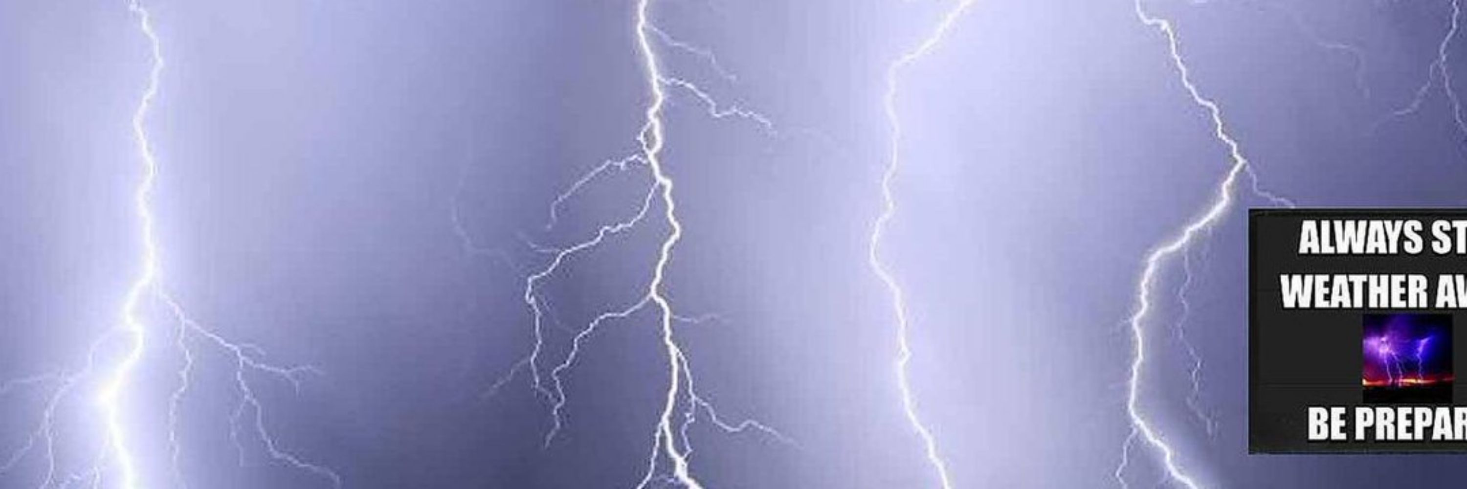
*Regardless of the method or source, you should ALWAYS STAY WEATHER AWARE as weather is ALWAYS changing* (All weather, all the time) TikTOK: https://www.tiktok.com/@alwaysstayweatheraware?lang=en
Posts Media Videos Starter Packs
Reposted by Johnny K
SPC Tornado Watch 627
⛈️
A couple tornadoes possible
Scattered damaging wind gusts to 70 mph possible
Isolated large hail events to 1 inch in diameter possible

SUMMARY🌪️
Additional Details Here.
Earlier radar-CONFIRMED #tornado in Hot Spring County #Arkansas ( #ARwx ) Saturday afternoon (October 18) in what is the FIRST organized severe threat of the Fall season #wx #wxsky

(THV11)-TV: "We have a tornado. We had a touchdown. We had a brief touchdown."
( #NWSSPC): A #Tornado WATCH is in effect until 9 PM CDT Saturday night (10/18) for the ArkLaTex region. A couple of #tornadoes as well as damaging winds and large hail are possible through the afternoon and into the early evening. #wx #wxsky
Reposted by Johnny K
Watch this! A wall of impenetrable wind shear across the SE builds/ intensifies even further south, suppressing our Caribbean system, squeezing it into a corner. This is likely a saving grace for FL. System will be flattened & forced west or east, unless it’s able to wait out long enough.
Reposted by Johnny K
Oct 18 8am EDT - A tropical wave about 800 miles east of the #WindwardIslands is moving quickly westward and is expected to bring heavy rain and gusty winds to the Windward Islands Sunday-Sunday night. Gradual development is possible in the #C... https://x.com/NHC_Atlantic/status/1979517794052890740
7 am EDT/6 am CDT Saturday morning (October 18) #USwx #TEMPERATURES #wx #wxsky
Aerial views of devastation across parts of western #Alaska ( #AKwx ) in the aftermath of a destructive STORM SURGE from what was Typhoon Halong last weekend (October 11-12) #wx #wxsky

(AKNewsNow )-TV: "Entire coastlines reshaped. Homes ripped from their foundations."
Reposted by Johnny K
Wall of Wind Shear!
Now this is a sight to see. Models coming in HOT on wind shear for the next two weeks. IF this verifies, this is an all out ban on hurricanes for the Gulf! A hurricane blockade, if you will…
1/
( #NWSSPC): Organized severe weather is expected this Saturday (10/18). Damaging winds, a few #tornadoes, and #hail may occur. Stay weather aware during the afternoon/evening #ARwx #MSwx #OKwx #TXwx #TNwx #KYwx #MOwx #ILwx #LAwx #wx #wxsky
Reposted by Johnny K
A severe storm threat is in place for more than 45 million people from northeast Texas to the Ohio River Valley on Saturday.

💨 Damaging winds
🌪️ A few tornadoes &
🧊 Hail are all possible

There is time today to make sure you are prepared. Visit weather.gov/safety for more.
Reposted by Johnny K
8 am EDT - A tropical wave is located over the central tropical Atlantic. Gradual development of this system is possible over the next several days while it moves generally westward at 15 to 20 mph. Regardless of development, this system is ex... https://x.com/NHC_Atlantic/status/1979152231233421753
7 am EDT/6 am CDT Friday morning (October 17) #USwx #TEMPERATURES #wx #wxsky
Reposted by Johnny K
SPC Oct 17, 2025 0600 UTC Day 2 Convective Outlook
⛈️THERE IS A SLIGHT RISK OF SEVERE THUNDERSTORMS FROM THE ARKLATEX
TO THE CENTRAL MISSISSIPPI AND LOWER OHIO VALLEYS🌪️
Additional Details Here.
Reposted by Johnny K
A hurricane landfall on the Gulf Coast is very rare in late October and November, but not unheard of.
This is a look at all storms that were hurricanes in their lifetime since 1970 from October 24th - the end of November in the Gulf. 1/
Reposted by Johnny K
This is the 2nd-latest tornado warning on record in the state of Colorado.

#COwx
Reposted by Johnny K
2 pm EDT - A tropical wave over the tropical central Atlantic could slowly develop when it reaches the central portion of the Caribbean Sea by the middle part of next week. Visit http://hurricanes.gov for updates. https://pbs.twimg.com/media/G3ZgN1xW0AAvTS2.png
Reposted by Johnny K
NOAA’s National Weather Service Winter Outlook has been released.

This outlook shows the likely temperature and precipitation the U.S. could experience during meteorological winter (December 1, 2025 through February 28, 2026) and drought conditions through January 31, 2026.
Reposted by Johnny K
A system developing across the Plains may cause locally severe weather in W Kansas and SW Nebraska today, before pushing into Oklahoma, Kansas, & Missouri Friday. Saturday, there will be a threat for tornadoes, damaging wind gusts and hail in parts of the Ark-La-Tex, Ozarks & mid Mississippi Valley.
( #NWSLittleRock): #Arkansas has a Slight Risk for severe weather on Saturday (10/18). Storms expected to develop near the AR/OK border early Saturday afternoon and gradually track from west to east across the state. All hazards possible: damaging #winds, large #hail and a few #tornadoes #ARwx #wx
7 am EDT/6 am CDT Thursday morning (October 16) #USwx #TEMPERATURES #wx #wxsky
Reposted by Johnny K
SPC Oct 16, 2025 0730 UTC Day 3 Severe Thunderstorm Outlook
⛈️THERE IS A SLIGHT RISK OF SEVERE THUNDERSTORMS ACROSS PARTS OF
THE ARK-LA-TEX🌪️
Additional Details Here.
Reposted by Johnny K
Late night mid-October thunderstorms in the Denver metro area because why not
Reposted by Johnny K
So far this Atlantic hurricane season, the National Hurricane Center's track forecast errors have been really close to average... but the intensity errors have been decidedly larger.
bmcnoldy.blogspot.com/2025/10/lore...
Reposted by Johnny K
An atmospheric river event favors increased chances of stormy weather over the Western U.S. during late October.