Earth Topo Relief Bot
@reliefbot.bsky.social
19 followers 1 following 150 posts
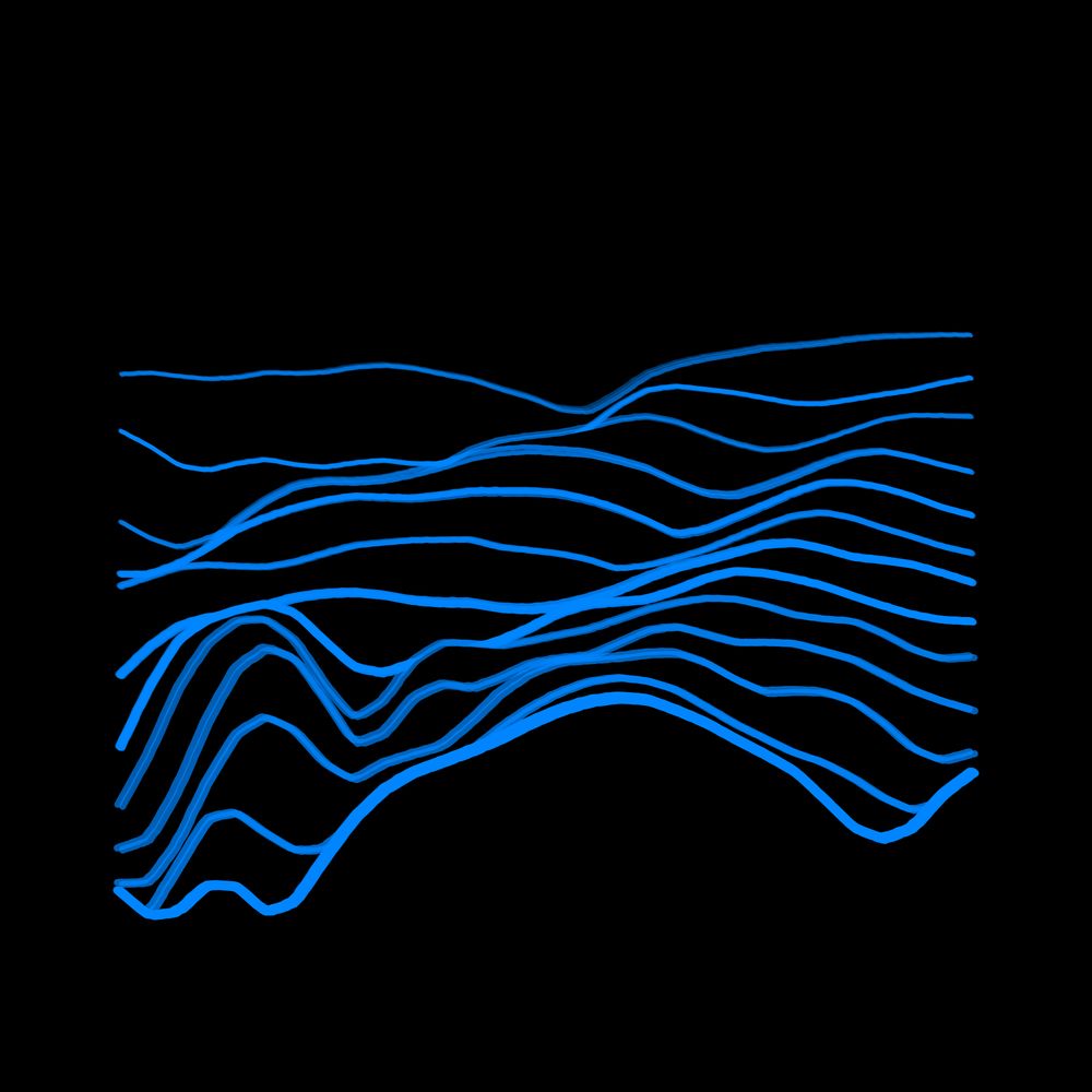
Daily topographical relief visualizations of earth. For requests: Reply on latest post with latitude,longitude coordinates like "48.85, 2.35" (land only). 🌍 Source code: https://github.com/Bastou/bot-bluesky-reliefs 👨‍💻 Made by @bastiencornier.bsky.social
Posts Media Videos Starter Packs
//\ Relief #150

Location: RP4208, Cercle de Lalla Mimouna, Maroc ⵍⵎⵖⵔⵉⴱ المغرب
Coordinates: 34.8989, -6.0139
Elevation Range: 47m to 205m
Terrain type: low-hilly

#ReliefOfTheDay #DataViz #Geography
//\ Relief #149

Location: Каа-Хемский кожуун, Республика Тыва, Россия
Coordinates: 52.2072, 98.6698
Elevation Range: 1550m to 2680m
Terrain type: high-mountainous

#ReliefOfTheDay #DataViz #Geography
//\ Relief #148

Location: Departamento Languiñeo, Chubut, Argentina
Coordinates: -43.5485, -70.5744
Elevation Range: 803m to 1035m
Terrain type: hilly

#ReliefOfTheDay #DataViz #Geography
//\ Relief #147

Location: Cahuapanas, Loreto, Perú
Coordinates: -5.6126, -76.8637
Elevation Range: 1018m to 1283m
Terrain type: high-hilly

#ReliefOfTheDay #DataViz #Geography
//\ Relief #146

Location: ولسوالی واخان, ولایت بدخشان, افغانستان
Coordinates: 36.8317, 72.5067
Elevation Range: 4317m to 5922m
Terrain type: high-mountainous

#ReliefOfTheDay #DataViz #Geography
//\ Relief #145

Location: Line 8, Ontario, Canada
Coordinates: 43.1718, -79.0665
Elevation Range: 75m to 193m
Terrain type: low-rolling

#ReliefOfTheDay #DataViz #Geography
//\ Relief #144

Location: RP19, Mendoza, Argentina
Coordinates: -32.3242, -69.1566
Elevation Range: 2304m to 2950m
Terrain type: high-hilly

#ReliefOfTheDay #DataViz #Geography
//\ Relief #143

Location: Эвенкийский район, Красноярский край, Россия
Coordinates: 64.0350, 97.1879
Elevation Range: 525m to 837m
Terrain type: hilly

#ReliefOfTheDay #DataViz #Geography
//\ Relief #142

Location: Municipio Ixiamas, La Paz, Bolivia
Coordinates: -13.9992, -68.0224
Elevation Range: 353m to 1063m
Terrain type: hilly

#ReliefOfTheDay #DataViz #Geography
//\ Relief #141

Location: Simpang Bumbuan, Kalimantan Selatan, Indonesia
Coordinates: -2.4524, 115.6216
Elevation Range: 61m to 260m
Terrain type: low-hilly

#ReliefOfTheDay #DataViz #Geography
//\ Relief #140

Location: Kagorogoro, Kisoro, Uganda
Coordinates: -1.2551, 29.7594
Elevation Range: 1794m to 2490m
Terrain type: high-hilly

#ReliefOfTheDay #DataViz #Geography
//\ Relief #139

Location: Utsjoki, Lappi, Suomi / Finland
Coordinates: 69.2212, 25.9427
Elevation Range: 253m to 443m
Terrain type: hilly

#ReliefOfTheDay #DataViz #Geography
//\ Relief #138

Location: Shiprock Agency / Naatʼáanii Nééz Bił Hahoodzo biyiʼdi, Arizona, United States
Coordinates: 36.5771, -109.0127
Elevation Range: 1791m to 1992m
Terrain type: high-hilly

#ReliefOfTheDay #DataViz #Geography
//\ Relief #137

Location: Кирбейский национальный наслег, Республика Саха (Якутия), Россия
Coordinates: 67.3253, 117.4432
Elevation Range: 185m to 322m
Terrain type: rolling

#ReliefOfTheDay #DataViz #Geography
//\ Relief #136

Location: Cascade County, Montana, United States
Coordinates: 47.2902, -110.9280
Elevation Range: 1117m to 1384m
Terrain type: high-hilly

#ReliefOfTheDay #DataViz #Geography
//\ Relief #135

Location: Межселенная территория Аллах-Юнь, Республика Саха (Якутия), Россия
Coordinates: 62.5102, 139.8347
Elevation Range: 875m to 1749m
Terrain type: high-mountainous

#ReliefOfTheDay #DataViz #Geography
//\ Relief #134

Location: Эрдэнэ ᠡᠷᠳᠡᠨᠢ, Говь-Алтай ᠭᠣᠪᠢ ᠠᠯᠲᠠᠢ, Монгол улс ᠮᠤᠩᠭᠤᠯ ᠤᠯᠤᠰ
Coordinates: 44.7751, 98.2397
Elevation Range: 1997m to 2349m
Terrain type: high-hilly

#ReliefOfTheDay #DataViz #Geography
//\ Relief #133

Location: Area A (Seymour Inlet/Knight Inlet), British Columbia, Canada
Coordinates: 50.7546, -125.8716
Elevation Range: 125m to 1412m
Terrain type: mountainous

#ReliefOfTheDay #DataViz #Geography
//\ Relief #132

Location: 盐池湾乡 ᠶᠠᠨᠴᠢ ᠶᠢᠨ ᠰᠢᠶᠠᠩ, 甘肃省, 中国
Coordinates: 39.2741, 96.2074
Elevation Range: 3977m to 4458m
Terrain type: high-hilly

#ReliefOfTheDay #DataViz #Geography
//\ Relief #131

Location: Сарқан ауданы, Жетісу облысы, Қазақстан
Coordinates: 45.6571, 80.2910
Elevation Range: 624m to 846m
Terrain type: hilly

#ReliefOfTheDay #DataViz #Geography
//\ Relief #130

Location: 大和町神路, 日本
Coordinates: 35.8003, 136.9367
Elevation Range: 235m to 601m
Terrain type: hilly

#ReliefOfTheDay #DataViz #Geography
//\ Relief #129

Location: 东汝乡, 西藏自治区 བོད་རང་སྐྱོང་ལྗོངས།, 中国
Coordinates: 33.8396, 82.1812
Elevation Range: 5094m to 5961m
Terrain type: high-mountainous

#ReliefOfTheDay #DataViz #Geography
//\ Relief #128

Location: 天祝藏族自治县, 甘肃省, 中国
Coordinates: 37.2328, 103.0614
Elevation Range: 2879m to 3533m
Terrain type: high-hilly

#ReliefOfTheDay #DataViz #Geography
//\ Relief #127

Location: Среднеканский муниципальный округ, Магаданская область, Россия
Coordinates: 63.2020, 153.6355
Elevation Range: 343m to 476m
Terrain type: rolling

#ReliefOfTheDay #DataViz #Geography
//\ Relief #126

Location: 鸡东县, 黑龙江省, 中国
Coordinates: 45.1782, 131.5935
Elevation Range: 169m to 349m
Terrain type: hilly

#ReliefOfTheDay #DataViz #Geography