Kelly Butt
banner
kellybutt.bsky.social
Kelly Butt
@kellybutt.bsky.social
1.1K followers 190 following 690 posts
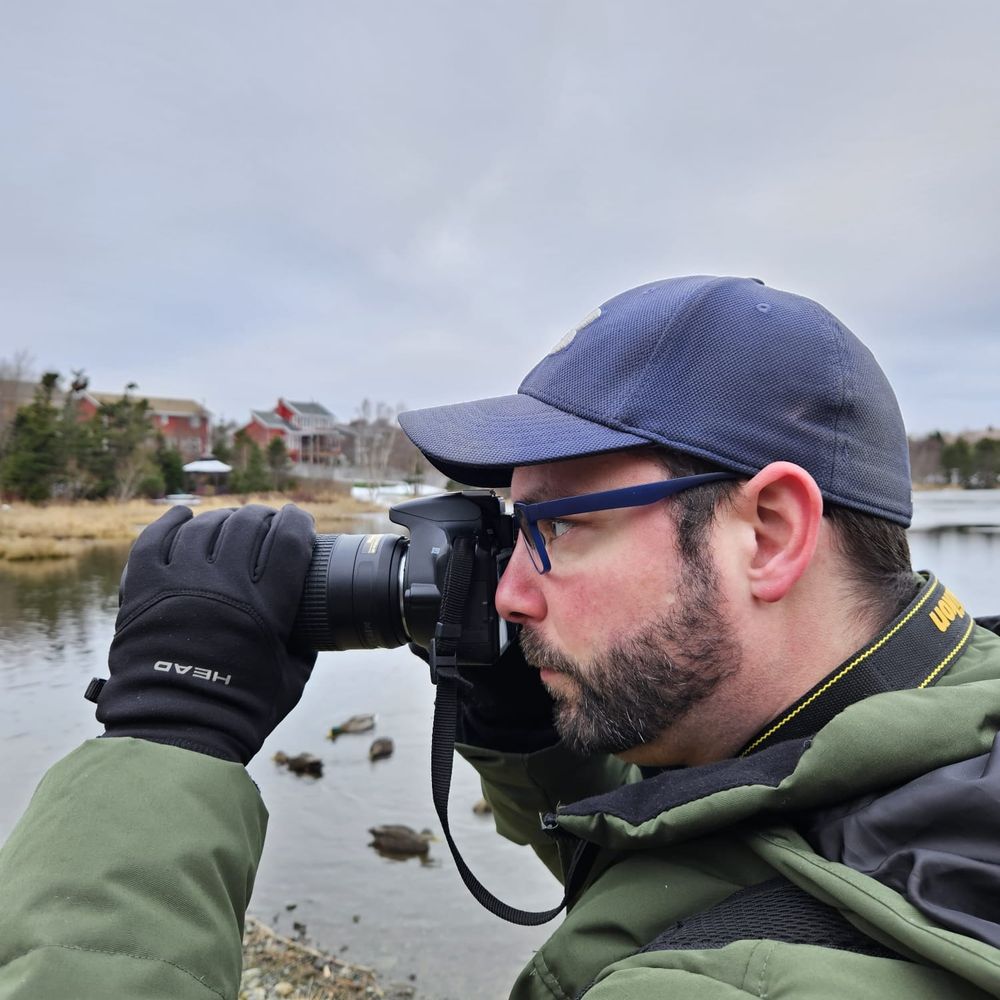
Severe weather watcher for Environment & Climate Change Canada | Following #NLwx from St. John's, NL | Picture taker | Bird watcher. https://capebretonweather.ca/station.html#id=001D0A7122F2 https://kellybutt.artfunnels.com/
Posts Media Videos Starter Packs
Our next #NLwx maker will be a strong Fall storm that moves over the island Tuesday into Wednesday.

Rainfall is likely in the 30-50mm+ range for most of the island.

West & central may see wet snow mixed in w/rain on Wednesday

Wind gusts will be near or in excess of 100 km/h, esp for coastal areas
⚠️=NEW=⚠️ Tropical cyclone information statement issued for the southern Avalon. Continued for offshore regions.

Hurricane #Melissa will become post-tropical and will pass near the Avalon Peninsula Friday night/overnight.

weather.gc.ca/hurricane/st...

#NLwx
2. If this setup holds, that will keep the strongest winds offshore to the east of Nfld. Rain & gusty winds would then be the story.

However, uncertainty remains and a shift NW in the track would potentially bring the strong winds over eastern Nfld.

#NLwx #StayTuned
1. Latest EPS & GEFS for Hurricane #Melissa.

The general consensus keeps (what will be likely) post tropical storm Melissa just to the SE & east of the Avalon.

Melissa will also be interacting with a non-tropical low over Atlantic Canada.

#NLwx
2. Rainfall amounts overnight tonight to Saturday afternoon:

Southern Avalon: 50-80mm+

Northern Avalon: 25-45mm.

Burin & Bonavista Peninsulas + Clarenville: 20-40mm.

Terra Nova & Bonavista North: 10-20mm.

#NLwx
1. A good dose of much needed rainfall is on the way for eastern Nfld.

Showers begin tonight, with heavier rain arriving overnight or Friday AM.

Intermittent moderate to heavy rain continues thru Friday night & Saturday AM. Rain tapers to showers early Sat afternoon.

#NLwx
⚠️=NEW=⚠️ Rainfall warning issued for the southern Avalon Peninsula.

Rainfall: 40-60mm, higher in thunderstorms.

Rainfall rates possibly 10-20mm/hr.

Timeframe: Friday morning to early Saturday afternoon.

#NLwx
This wasn't too bad. Struggled with the zoom.
Clear #NLwx for taking photos of Comet C/2025 A6 (Lemmon).

A bit tricky, since it was only faintly visible with binoculars.

#cometlemmon
Lots around over this way. There were quite a few robins at Virginia Lake today, too. Then again, I go birdwatching, and look for 'em, haha.
American Robin enjoying some dogberries on this cool drizzly fall day.

#nlwx #birds
Parts of the Burin Peninsula is also seeing some sunshine this morning.

#NLwx
Southwestern & western Nfld and the western side of the GNP will feature the most pleasant #NLwx today.

Mainly sunny or sun & cloud for these areas, with temps in the low double digits to mid teens.

Skies should clear later today for parts of the south coast as well.
Red hues and water droplets.

#nlwx
Labrador today:

Western: Mostly cloudy w/breaks & chance of flurries. Temp: 3°

Central: Showers ending this afternoon, then sun & cloud. Temp: 7°

SE: AM sun & cloud, aft: Showers/rain (5-10mm). Temp: 7-11°

Mid-north coast: Mainly sunny. Temp: 4-6°

#NLwx
#NLwx today:

Eastern: Mainly sunny or sun & cloud. Temps: 12-15°

Central & south: Sun & cloud, increasing cloud. Temp: 11-14°

Western & GNP: AM sun & cloud. Aft: Cloudy w/showers beginning. Temp: 8-12°
You may get a bit of sun in the afternoon. Fog & drizzle in the morning. Temp around 17° in the afternoon.
Enjoy the warmth tomorrow.

Periods of rain sweep across the island Wednesday night & Thursday.

Temps start out warm in central & east Thurs AM, but drop sharply thru the day.

Temps remain warm on the Avalon most of the day, cooling in the late aft or evening.

#NLwx
A repeat of today's #NLwx for most of Newfoundland is on tap tomorrow:

Mainly sunny skies for central & east. Western Nfld will see increasing cloud & chances of showers (rain tomorrow night).

Temps: Upper teens to low 20s across the board!
Reposted by Kelly Butt
=NEW MONTHLY RECORDS=

Tuesday brought the warmth to the island. A number of locations seeing their warmest October day on record. 📈

Badger 26.4°C just 0.8°C short of highest reliable official October temperature rec for all of NL (27.2°C, Grand Falls, Oct 14, 1938). 🌡️

#nlwx
Reposted by Kelly Butt
=NEW MONTHLY RECORDS=

Very warm Monday in #Labrador, with several locations setting new October extreme maximum temperature records. 📈

Nain auto station WFP peaked at 25.0°C – just 1.1°C short of the October record for all of Labrador (26.1°C at Mary's Hr, Oct 7, 2023). 🌡️

#nlwx
Summer like #NLwx returns Tuesday & Wednesday!

Highs across the island will be in the upper teens & low 20s, with inland areas pushing the mid 20s.

Wednesday will be similar, with upper teens & low 20s.

Warm air will exit on Thursday with the passage of some showers.
St. John's east PWS low temperature of -0.9°C this morning.

That marks the first freeze of the season and coldest temperature since May 8 at -2.1°C

capebretonweather.ca/station.html...

#NLwx
Current Station
capebretonweather.ca
Warm air from eastern North America arrives for #NLwx this week!

Monday:
Lab: Upper teens/low 20s
Nfld: low-upper teens

Temps drop for Lab on Tuesday, but Nfld: Low-mid 20s.

Nfld on Wednesday: Upper teens & low 20s.

Temps drop Thursday, with mid teens in the AM in the east.