


Tyler Roney
@tylerjroney.bsky.social
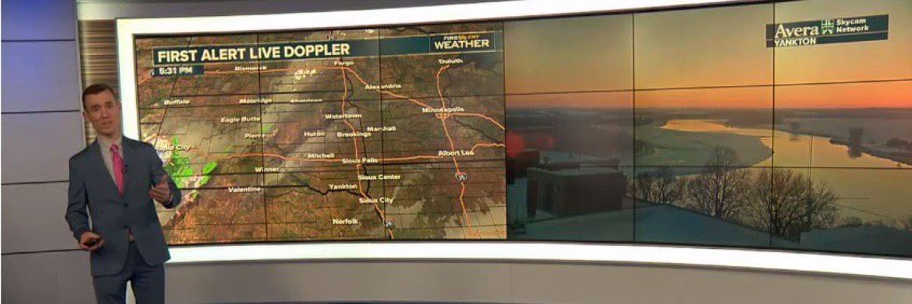
Meteorologist at Dakota News Now in Sioux Falls
Iowa State alum
Broncos fan
St. Louis Cardinals fan
Dating my best friend
Dad of one and 2x Cat Dad
Opinions are mine
Iowa State alum
Broncos fan
St. Louis Cardinals fan
Dating my best friend
Dad of one and 2x Cat Dad
Opinions are mine
July 28, 2025 at 11:53 PM
‼️ Extremely Dangerous Thunderstorm Warning ‼️
Storms are producing wind speeds of 80+ mph in parts of central South Dakota. Make sure to seek shelter if you’re in the path of these storms!
Storms are producing wind speeds of 80+ mph in parts of central South Dakota. Make sure to seek shelter if you’re in the path of these storms!
July 23, 2025 at 1:29 PM
‼️ Extremely Dangerous Thunderstorm Warning ‼️
Storms are producing wind speeds of 80+ mph in parts of central South Dakota. Make sure to seek shelter if you’re in the path of these storms!
Storms are producing wind speeds of 80+ mph in parts of central South Dakota. Make sure to seek shelter if you’re in the path of these storms!
Heads up, Sioux Falls area! Most communities have been added to the Severe Thunderstorm Watch.
That impressive line of storms continues to move east. Embedded rotation remains likely which would result in a possible tornado.
That impressive line of storms continues to move east. Embedded rotation remains likely which would result in a possible tornado.
July 16, 2025 at 12:20 AM
Heads up, Sioux Falls area! Most communities have been added to the Severe Thunderstorm Watch.
That impressive line of storms continues to move east. Embedded rotation remains likely which would result in a possible tornado.
That impressive line of storms continues to move east. Embedded rotation remains likely which would result in a possible tornado.
This large area under a Severe Thunderstorm Warning is for 70 mph wind gusts. This will cause damage! Seek shelter if you’re in the warned areas! #SDwx
July 15, 2025 at 10:50 PM
This large area under a Severe Thunderstorm Warning is for 70 mph wind gusts. This will cause damage! Seek shelter if you’re in the warned areas! #SDwx
This line of showers and storms will have some embedded rotation within it. We already have one tornado warning within the line and may see more over the next couple of hours as these storms slowly move southeast.
July 15, 2025 at 10:21 PM
This line of showers and storms will have some embedded rotation within it. We already have one tornado warning within the line and may see more over the next couple of hours as these storms slowly move southeast.
The Canadian wildfire smoke will have a major impact on air quality today in the Dakotas and Minnesota.
This is the surface smoke forecast and as you can see there is a plume that will continue to move into eastern South Dakota and much of Minnesota.
This is the surface smoke forecast and as you can see there is a plume that will continue to move into eastern South Dakota and much of Minnesota.
July 12, 2025 at 5:28 PM
The Canadian wildfire smoke will have a major impact on air quality today in the Dakotas and Minnesota.
This is the surface smoke forecast and as you can see there is a plume that will continue to move into eastern South Dakota and much of Minnesota.
This is the surface smoke forecast and as you can see there is a plume that will continue to move into eastern South Dakota and much of Minnesota.
Storms are firing up right along a stationary boundary (indicated by the blue line) which is leading to the focal point for storms to form. It’s also leading to storms to sit over the same area and create locally heavy amounts of rain.
June 14, 2025 at 11:50 PM
Storms are firing up right along a stationary boundary (indicated by the blue line) which is leading to the focal point for storms to form. It’s also leading to storms to sit over the same area and create locally heavy amounts of rain.