


EUMETSAT OSI SAF
@osi-saf.eumetsat.int
EUMETSAT's Ocean and Sea Ice Satellite Application Facility. 🛰
We are the dedicated @eumetsat.bsky.social centre for processing satellite data at the ocean-atmosphere interface.
We are the dedicated @eumetsat.bsky.social centre for processing satellite data at the ocean-atmosphere interface.
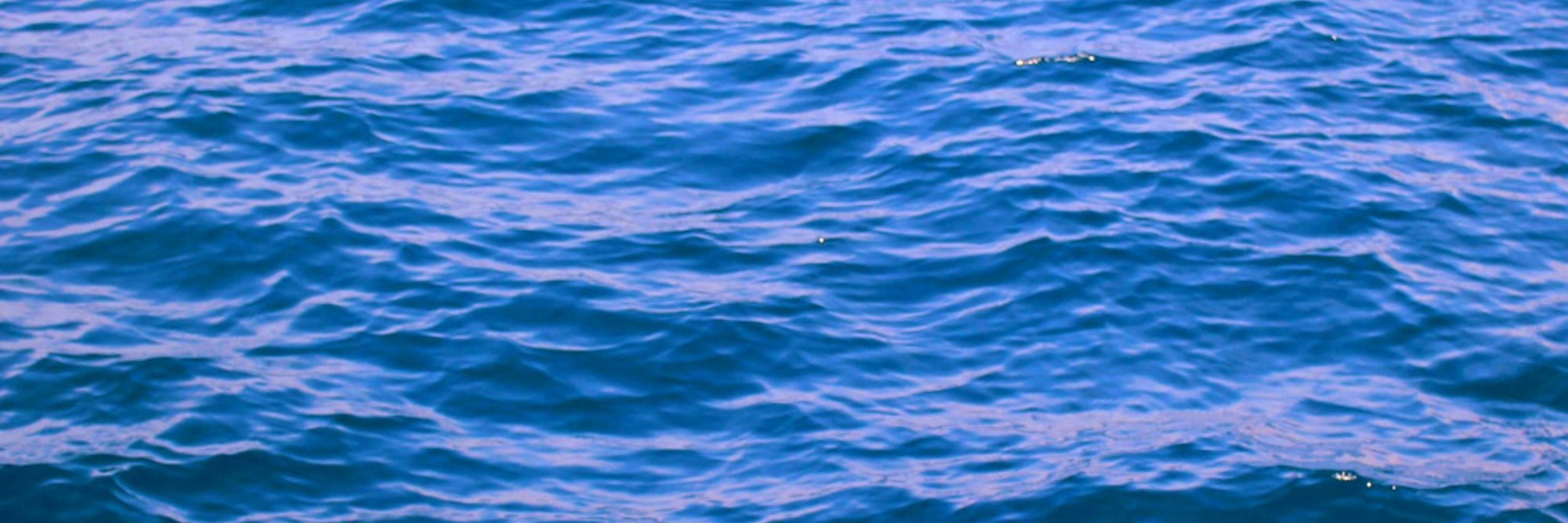
The scatterometer data we use to retrieve wind allow measuring the wind speed and direction over open ocean. Due to land contamination of the data, we however remove the biased information in coastal areas. That is why our measurement miss here the centre of the hurricane.
October 29, 2025 at 3:14 PM
The scatterometer data we use to retrieve wind allow measuring the wind speed and direction over open ocean. Due to land contamination of the data, we however remove the biased information in coastal areas. That is why our measurement miss here the centre of the hurricane.
For a global overview of the implications of the end of SSMIS ou our products, please read this (updated) story:
osi-saf.eumetsat.int/community/st...
osi-saf.eumetsat.int/community/st...
Implications of the end of SSMIS data on OSI SAF products | OSI SAF
This page will be regularly updated to provide you with the latest information about SSMIS end of life and about the implications on OSI SAF products.
osi-saf.eumetsat.int
October 17, 2025 at 12:34 PM
For a global overview of the implications of the end of SSMIS ou our products, please read this (updated) story:
osi-saf.eumetsat.int/community/st...
osi-saf.eumetsat.int/community/st...
The v2.3 of our Sea-Ice Index is based on our Sea-Ice Concentration Interim Climate Data Record using AMRS2. Last 16 days are based on the fast-track data generated faster than the nominal ones, that may differ slightly.
More information on our product page: osi-saf.eumetsat.int/products/osi...
More information on our product page: osi-saf.eumetsat.int/products/osi...
Global Sea Ice Concentration interim climate data record (AMSR2), release 3 | OSI SAF
osi-saf.eumetsat.int
October 2, 2025 at 8:32 AM
The v2.3 of our Sea-Ice Index is based on our Sea-Ice Concentration Interim Climate Data Record using AMRS2. Last 16 days are based on the fast-track data generated faster than the nominal ones, that may differ slightly.
More information on our product page: osi-saf.eumetsat.int/products/osi...
More information on our product page: osi-saf.eumetsat.int/products/osi...
As usually, September is the month when the #Arctic sees its minimum extent (5,071,505km² on 07/09/2025) and the #Antarctic its maximum (18,281,296km² on 13/09/2025)
#SeaIce, #Climate
#SeaIce, #Climate
October 2, 2025 at 8:32 AM
As usually, September is the month when the #Arctic sees its minimum extent (5,071,505km² on 07/09/2025) and the #Antarctic its maximum (18,281,296km² on 13/09/2025)
#SeaIce, #Climate
#SeaIce, #Climate
The v2.3 of our Sea-Ice Index is based on our Sea-Ice Concentration Interim Climate Data Record using AMRS2. Last 16 days are based on the fast-track data generated faster than the nominal ones, that may differ slightly.
More information on our product page: osi-saf.eumetsat.int/products/osi...
More information on our product page: osi-saf.eumetsat.int/products/osi...
Global Sea Ice Concentration interim climate data record (AMSR2), release 3 | OSI SAF
osi-saf.eumetsat.int
October 2, 2025 at 8:26 AM
The v2.3 of our Sea-Ice Index is based on our Sea-Ice Concentration Interim Climate Data Record using AMRS2. Last 16 days are based on the fast-track data generated faster than the nominal ones, that may differ slightly.
More information on our product page: osi-saf.eumetsat.int/products/osi...
More information on our product page: osi-saf.eumetsat.int/products/osi...
As usually, September is the month when the #Arctic sees its minimum extent (5,071,505km² on 07/09/2025) and the #Antarctic its maximum extent (18,281,296km² on 13/09/2025)
#SeaIce, #Climate
#SeaIce, #Climate
October 2, 2025 at 8:26 AM
As usually, September is the month when the #Arctic sees its minimum extent (5,071,505km² on 07/09/2025) and the #Antarctic its maximum extent (18,281,296km² on 13/09/2025)
#SeaIce, #Climate
#SeaIce, #Climate
On this view, the winds are overimposed on GOES-19 data. Check our notebooks to learn how to do this type of image : gitlab.eumetsat.int/eumetlab/oce...

October 1, 2025 at 3:53 PM
On this view, the winds are overimposed on GOES-19 data. Check our notebooks to learn how to do this type of image : gitlab.eumetsat.int/eumetlab/oce...
for more views of OSI SAF winds: scatterometer.knmi.nl/tile_prod/in...
OSI SAF multi-platform product viewer detail
scatterometer.knmi.nl
October 1, 2025 at 3:32 PM
for more views of OSI SAF winds: scatterometer.knmi.nl/tile_prod/in...