


IRSS at UBC
@irssubc.bsky.social
The Integrated Remote Sensing Studio at the Faculty of Forestry
of UBC led by Prof Nicholas Coops.
of UBC led by Prof Nicholas Coops.
Congratulations to Yinan (Elaine) Ye on successfully completing her Master of Science! 🎓
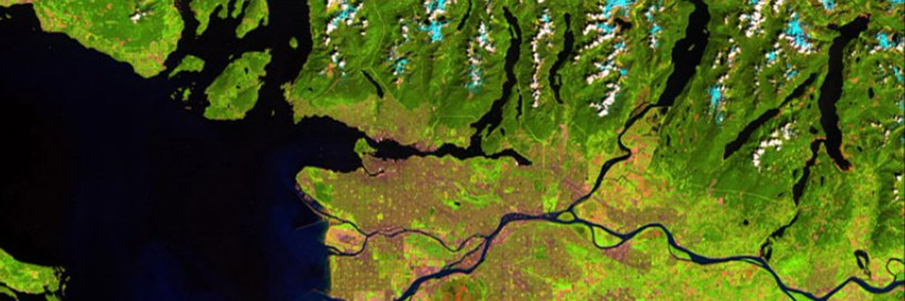
Her thesis, "Segmenting and Updating Forest Polygons Over Three Decades Using Time-Series Landsat Imagery," showcases her incredible hard work and dedication.
Don’t be a stranger! 🌲🧳
#UBCForestry #IRSSLab
Her thesis, "Segmenting and Updating Forest Polygons Over Three Decades Using Time-Series Landsat Imagery," showcases her incredible hard work and dedication.
Don’t be a stranger! 🌲🧳
#UBCForestry #IRSSLab
September 18, 2025 at 9:55 PM
Congratulations to Yinan (Elaine) Ye on successfully completing her Master of Science! 🎓
Her thesis, "Segmenting and Updating Forest Polygons Over Three Decades Using Time-Series Landsat Imagery," showcases her incredible hard work and dedication.
Don’t be a stranger! 🌲🧳
#UBCForestry #IRSSLab
Her thesis, "Segmenting and Updating Forest Polygons Over Three Decades Using Time-Series Landsat Imagery," showcases her incredible hard work and dedication.
Don’t be a stranger! 🌲🧳
#UBCForestry #IRSSLab
One to remember! 🎓
Dr. Evan (Bud) Muise finds his place on the wall after the successful defense of his thesis: "Assessing forest ecological integrity and protected area effectiveness in British Columbia with satellite remote sensing"
Congratulations, Bud!
#IRSSlab #UBCForestry #RemoteSensing
Dr. Evan (Bud) Muise finds his place on the wall after the successful defense of his thesis: "Assessing forest ecological integrity and protected area effectiveness in British Columbia with satellite remote sensing"
Congratulations, Bud!
#IRSSlab #UBCForestry #RemoteSensing
September 12, 2025 at 3:18 PM
One to remember! 🎓
Dr. Evan (Bud) Muise finds his place on the wall after the successful defense of his thesis: "Assessing forest ecological integrity and protected area effectiveness in British Columbia with satellite remote sensing"
Congratulations, Bud!
#IRSSlab #UBCForestry #RemoteSensing
Dr. Evan (Bud) Muise finds his place on the wall after the successful defense of his thesis: "Assessing forest ecological integrity and protected area effectiveness in British Columbia with satellite remote sensing"
Congratulations, Bud!
#IRSSlab #UBCForestry #RemoteSensing
Congratulations again and again and again to Dr. Ramon Melser! (@ramonmelser.bsky.social)
He joins the wall after successfully defending his thesis: “Enhanced assessment of boreal vegetation productivity using integrated satellite-derived datasets and analysis approaches.”
#IRSSLab #UBCForestry
He joins the wall after successfully defending his thesis: “Enhanced assessment of boreal vegetation productivity using integrated satellite-derived datasets and analysis approaches.”
#IRSSLab #UBCForestry
August 28, 2025 at 5:02 PM
Congratulations again and again and again to Dr. Ramon Melser! (@ramonmelser.bsky.social)
He joins the wall after successfully defending his thesis: “Enhanced assessment of boreal vegetation productivity using integrated satellite-derived datasets and analysis approaches.”
#IRSSLab #UBCForestry
He joins the wall after successfully defending his thesis: “Enhanced assessment of boreal vegetation productivity using integrated satellite-derived datasets and analysis approaches.”
#IRSSLab #UBCForestry
Multitemporal lidar enables forest growth & dynamics analysis - but has challenges!
🌲 Ways we aim to enhance forest growth models:
◾Examining the impact of pre-processing to harmonize multi-temporal lidar from different sensors
◾Developing flexible methods adapted to complex forest structures
🌲 Ways we aim to enhance forest growth models:
◾Examining the impact of pre-processing to harmonize multi-temporal lidar from different sensors
◾Developing flexible methods adapted to complex forest structures
April 4, 2025 at 4:48 PM
Multitemporal lidar enables forest growth & dynamics analysis - but has challenges!
🌲 Ways we aim to enhance forest growth models:
◾Examining the impact of pre-processing to harmonize multi-temporal lidar from different sensors
◾Developing flexible methods adapted to complex forest structures
🌲 Ways we aim to enhance forest growth models:
◾Examining the impact of pre-processing to harmonize multi-temporal lidar from different sensors
◾Developing flexible methods adapted to complex forest structures