

HeiGIT
@heigit.org
Open-source geoinformation, methods and software for the benefit of the environment and society.
---
This is the official account of HeiGIT (Heidelberg Institute for Geoinformation Technology) at Heidelberg University.
Check us out at https://heigit.org/
---
This is the official account of HeiGIT (Heidelberg Institute for Geoinformation Technology) at Heidelberg University.
Check us out at https://heigit.org/
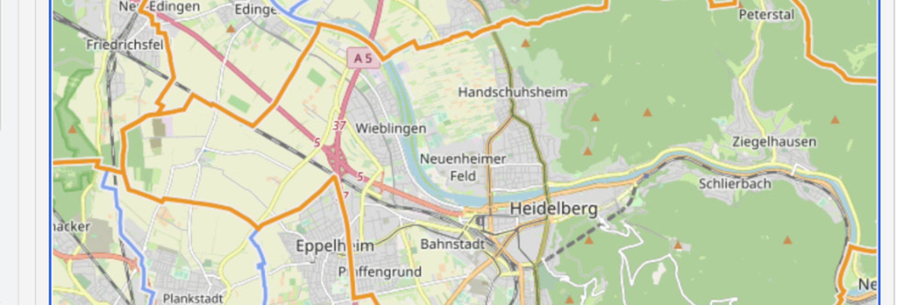
From community knowledge to building resilience: #DisasterRiskReductionDay
The Sketch Map Tool bridges the gap between analogue and digital mapping, transforming local knowledge into georeferenced data.
👉https://sketch-map-tool.heigit.org/
#ResiliencePays #ParticipatoryMapping #OpenData #GIS
The Sketch Map Tool bridges the gap between analogue and digital mapping, transforming local knowledge into georeferenced data.
👉https://sketch-map-tool.heigit.org/
#ResiliencePays #ParticipatoryMapping #OpenData #GIS
October 13, 2025 at 3:41 PM
From community knowledge to building resilience: #DisasterRiskReductionDay
The Sketch Map Tool bridges the gap between analogue and digital mapping, transforming local knowledge into georeferenced data.
👉https://sketch-map-tool.heigit.org/
#ResiliencePays #ParticipatoryMapping #OpenData #GIS
The Sketch Map Tool bridges the gap between analogue and digital mapping, transforming local knowledge into georeferenced data.
👉https://sketch-map-tool.heigit.org/
#ResiliencePays #ParticipatoryMapping #OpenData #GIS