Gavin Ash
banner
gavinwx.bsky.social
Gavin Ash
@gavinwx.bsky.social

I love nature, hiking, photography, (including drone photography 👀) videography, meteorology, and overall just exploring new places!


First tomato popped out today, how’s your plants doing @vortexjeff.bsky.social?
June 16, 2025 at 10:20 PM
🌧️ 🌧️
June 4, 2025 at 11:16 PM
View of the incoming storms in Champaign-Urbana.
May 13, 2025 at 9:44 PM
A nice little surprise to end the evening! @vortexjeff.bsky.social @skydrama.bsky.social
May 2, 2025 at 1:12 AM
Champaign-Urbana! Heads up, we’ve got a thunderstorm heading into town shorty ~(15 minutes or less) expect heavy rain, some non severe gusty winds and lightning!
May 2, 2025 at 12:52 AM
💨⛈️
May 1, 2025 at 8:03 PM
Yesterday’s chase in Eastern Illinois featured some storm structure, high wind, and even hail as thunderstorms rapidly intensified into a MCS.

Here is the highlight of the chase with very strong winds moving through a field near Arcola, Illinois.
March 31, 2025 at 4:59 PM
Beautiful evening skies
March 23, 2025 at 11:28 PM
Great day of chasing today in Central Illinois! Saw some magnificent structure, hail, and even a bird-fart of a tornado near Peoria. Below are the best structure shots of the day.
March 20, 2025 at 12:22 AM
Not liking the trends from the 00z HRRR, any discrete storm will be capable of producing a tornado, given a very conductive environment (300-450 J/KG 0-1KM SRH helicity) and (0-3KM at 600-700 J/KG).
March 14, 2025 at 1:54 AM
Reposted by Gavin Ash
Deke is the lead of the country’s weather & climate data repository and, more importantly, a darn fine human being.

The rest of the country has moved on, but southern Appalachia has not been so lucky.

Please give this a read, and if you are so moved and able, consider helping.

Thank you.
It's been 100 days. Helene will be the most damaging inland flooding in US history. We had many distractions since, but the wound is still open. Your help, your taxes, your love, all helped this region cope. But there's a long way to go. Please consider the southern Appalachians. Thank you. 1/n
January 5, 2025 at 4:30 AM
Reposted by Gavin Ash
Xenia [Clay Co, IL] Emergency Mngr reports Snow of 4.00 Inch at 11:35 AM CST --
at Sun, 05 Jan 2025 17:54:04 +0000 via IEMbot
Additional Details Here.
January 5, 2025 at 6:11 PM
Reposted by Gavin Ash
I don't know that we'll get to official criteria worthy of tripping Blizzard Warnings, but I'm keeping an eye on this corridor of winds north of the surface low that sweeps through parts of Illinois and Indiana tonight.

With several inches of powdery snow, I-74 and I-70 corridors should be rough.
January 5, 2025 at 3:37 PM
Snow coming down pretty hard in SW Champaign!
January 5, 2025 at 4:43 PM
Yes, this is a coneflower in Central Illinois in Mid-November
November 25, 2024 at 5:34 PM
Heavy snow in Attica, Indiana!
November 21, 2024 at 7:06 PM
First snow of the season right next to the tree :)
November 21, 2024 at 7:09 AM
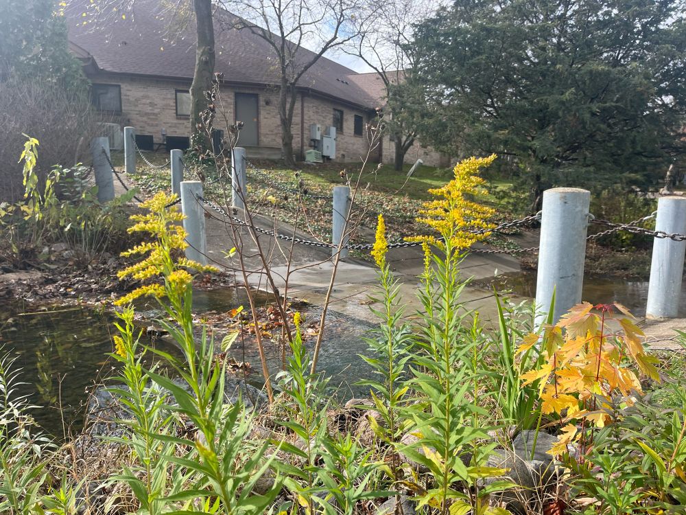
Even though it’s Mid-November in Central Illinois, we still have some Canadian Goldenrod that is thriving in the relatively mild weather
November 15, 2024 at 5:39 PM
Just hit 3” of rainfall since midnight on my personal weather station here in CU! @skydrama.bsky.social @vortexjeff.bsky.social
November 5, 2024 at 2:32 AM
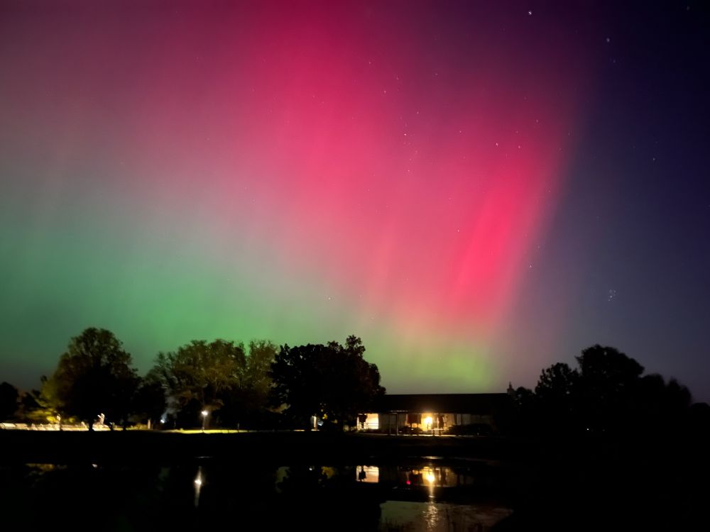
Champaign/UIUC looking stunning this evening!
October 18, 2024 at 10:38 PM
Hello! I’m Gavin Ash. I’m a 21 year old Storm Chaser, Weather Enthusiast, Drone Pilot, Photographer and Nature lover. I love this world and seeing what nature brings to the table, whether that be tornadoes, auroras, snowstorms, or even just pretty flowers in a field.

Here’s some of my shots
October 18, 2024 at 4:23 PM