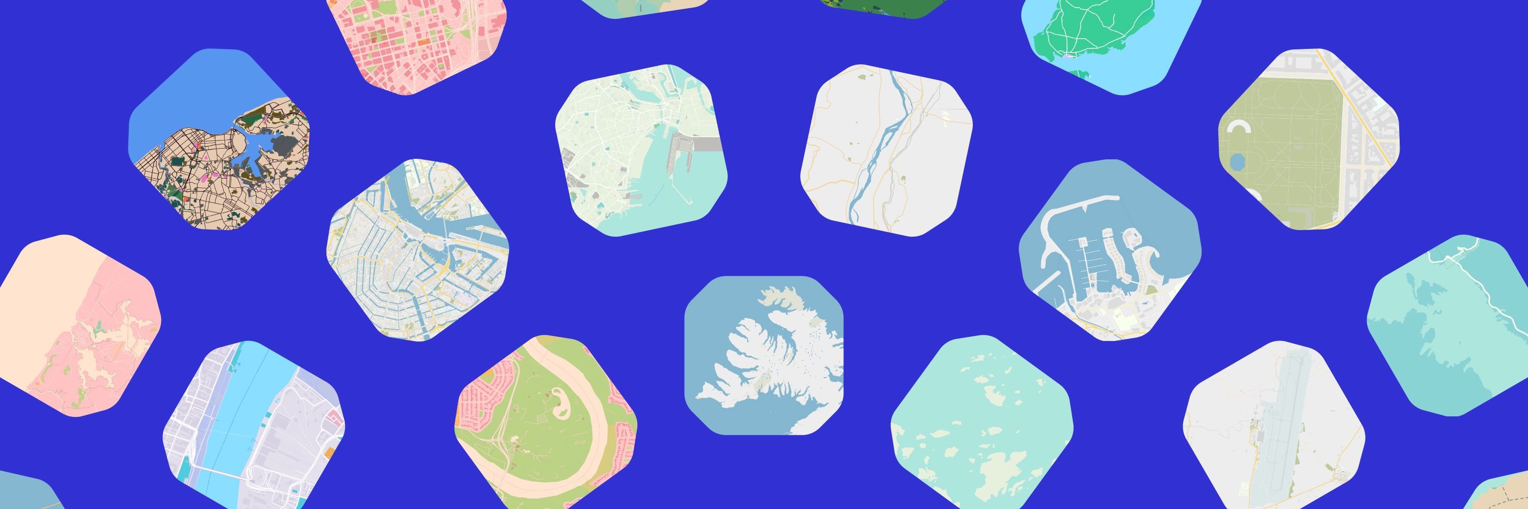
Protomaps
@protomaps.com
370 followers 0 following 35 posts
The world in a file. Open source! more: https://protomaps.com GitHub: https://github.com/protomaps posts by @bdon.org
Posts Media Videos Starter Packs
Reposted by Protomaps
Flix Bus in US powered by @protomaps.com and @openstreetmap.bsky.social
I love when apps clearly attribute their map source.
Reposted by Protomaps
I'll also share some latest developments using @protomaps.com and @maplibre.org to self-host vector maps with custom layers, beautiful rendering and seamless zoom, in case you are interested in that type of thing 🗺️
The #protomaps project recently reached its goal of 50+ GitHub Sponsors!

Becoming a sponsor allows commercial use of the hosted API: protomaps.com/api and supports the compute and storage for free daily planet builds: maps.protomaps.com/builds/

GitHub Sponsors: github.com/sponsors/pro...
Sponsor @protomaps on GitHub Sponsors
A free and open source map of the world, deployable as a single static file.
github.com
Reposted by Protomaps
mapgl for #rstats supports @protomaps.com PMTiles as a data source in both @maplibre.org and @mapbox.com maps.

If you need to visualize large datasets but struggle with hosting / infrastructure requirements, PMTiles may be exactly what you need.
Have you been waiting for "Protomaps Terrain"?

It's arriving! @mapterhorn.com is an independent project created by @oliverwipfli.ch - a global elevation model built from multiple sources, distributed as a single PMTiles archive
Mapterhorn v0.0.1 has been released. It is an aggregation of the global Copernicus GLO-30 low-resolution digital elevation model with the Swiss swissALTI3D high-resolution model. mapterhorn.com
mapterhorn
Open terrain tile sets and data catalog
mapterhorn.com
Reposted by Protomaps
Great to see protomaps go from strength to strength with handy open source viewer. www.youtube.com/watch?v=4Qn3...
Reposted by Protomaps
A very manual @protomaps.com to print pipeline. Always excited to get something in print 🗞️ www.nytimes.com/interactive/...
Picture of a New York Times newspaper showing an article titled Potent Ingredients Combine for a Devastating Flash Flood Season.
Added a section to the PMTiles docs on fast uploading to @source.coop using only the pmtiles single binary CLI:

docs.protomaps.com/pmtiles/clou...

Easier to install than awscli or rclone - just bring your repo credentials!
Reposted by Protomaps
I'd like to give a big thanks to @protomaps.com for their fantastic work. Our open source Android port of Soundscape, the navigation and exploration app for visually impaired uses a protomaps server and it's reduced the cost to the supporting charities by a huge amount. github.com/Scottish-Tec...
GitHub - Scottish-Tech-Army/Soundscape-Android: This is the source for an Android version of the original iOS Soundscape app
This is the source for an Android version of the original iOS Soundscape app - Scottish-Tech-Army/Soundscape-Android
github.com
There's an ongoing issue preventing PMTiles hosted on GitHub Pages from being loaded correctly in Firefox

Issue:

github.com/protomaps/PM...

Minimal Reproduction using raw fetch and plain files:

github.com/bdon/ghpages...

Work at @github.com or know someone who does?
Reposted by Protomaps
🗺️ La prévisualisation des fichiers PMTiles et GeoJSON est désormais disponible sur la plateforme ! #geo

Et bientôt d’autres formats (flux WMS et WFS, CSV contenant des données géographiques) grâce aux communs numériques de cartes.gouv.fr (IGN).

En savoir plus : www.data.gouv.fr/fr/posts/pre...
Nouveauté - la prévisualisation cartographique
Reposted by Protomaps
My first @protomaps.com

Faults, earthquakes, Alquist-Priolo fault zones, landslides, custom shaded relief, and a base layer. Just the East Bay for now. 🗺️
Map of faults (burgundy), earthquakes (dark red), Alquist-Priolo earthquake fault zones (light red), landslides (orange and yellow), shaded relief, and a base layer in the East Bay (Berkeley & Oakland).
Where tiles come from
New York tile factory
Possibly the first PMTiles appearance on the NYT front page?!
Live-updating mini globe on the home page over the weekend w/ @jkeefe.bsky.social
Screenshot of the NYT homepage showing a mini globe highlighting the latest estimated position of the kosmos-482 spacecraft.
Reposted by Protomaps
Shane @carbonplan.org Comparing performance between single GeoParquet, quadkey partitioned GeoParquet, FlatGeobuf, and PMTiles #cngconference
New rewrite of pmtiles.io going online soon

you can try it at beta.pmtiles.io

feedback link in nav bar!
Reposted by Protomaps
🗺️ Join our 1-hour workshop Understanding Protomaps with NYT’s John Keefe and learn how to build open-source, sustainable maps for your newsroom—no third-party tools needed. 💻

📅 April 22 | 💵 $40
🎟️ Register now: https://bit.ly/3RDRHKu
Reposted by Protomaps
Join our 1-hour workshop on Understanding Protomaps and learn how to create sustainable, interactive maps for your newsroom! 💻

📅 When: April 22 | 5 p.m. ET / 4 p.m. CT

💵 Cost: $40 (includes lifetime access, certificate & tipsheet)

🎟️ Register now: https://bit.ly/3RDRHKu
Reposted by Protomaps
Leaflet 0.8-dev from 10 years ago with a high performance @protomaps.com basemap canvas renderer from 2025? Yes it works 😅
So if you have legacy systems running where you don't have the resources to upgrade you can still replace costly raster tile APIs.
github.com/do-me/leafle...
Reposted by Protomaps
Enjoyed being on @jeremyjung.com's Software Sessions podcast! Topics:

* Maps as a primitive of the web
* The appeal of static sites
* @protomaps.com vs. OSM
* Dynamics + biz of FOSS vs. SaaS
* Thinking about "finishing" projects

Listen + read transcript at www.softwaresessions.com/episodes/pro...
Reposted by Protomaps
Little inset guy to show the eclipse extent in context
Reposted by Protomaps