


Nathan Ruser
@nrg8000.bsky.social
10K followers
380 following
190 posts
@Nrg8000 on twitter. Will fill this out when twitter inevitably burns.
Posts
Media
Videos
Starter Packs


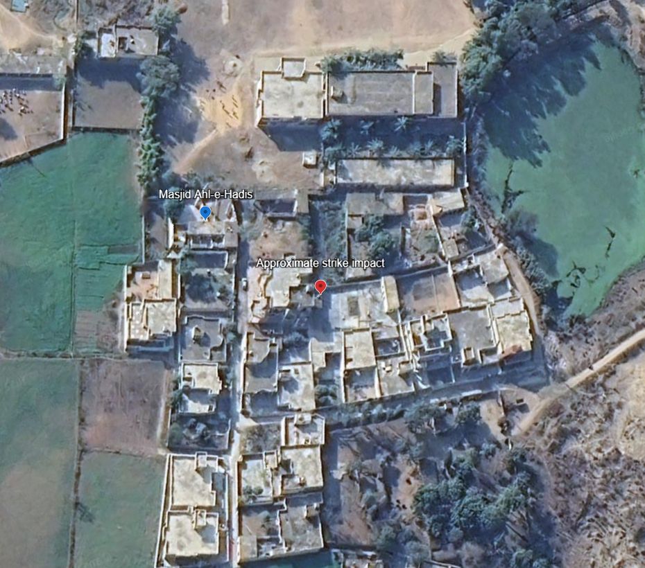


Nathan Ruser
@nrg8000.bsky.social
· Mar 31
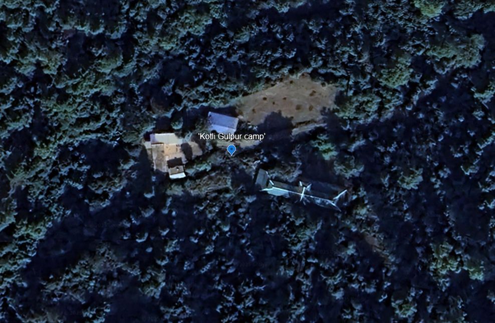
Nathan Ruser
@nrg8000.bsky.social
· Mar 31
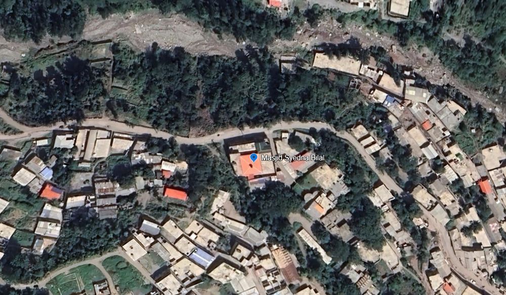
Nathan Ruser
@nrg8000.bsky.social
· Mar 31
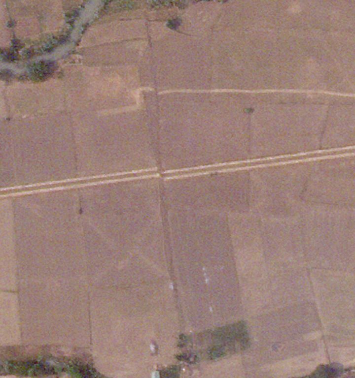
Nathan Ruser
@nrg8000.bsky.social
· Mar 31
Nathan Ruser
@nrg8000.bsky.social
· Mar 31
Nathan Ruser
@nrg8000.bsky.social
· Mar 31
Reposted by Nathan Ruser

Eliot Higgins
@eliothiggins.bsky.social
· Feb 28

