Jakub Nowosad
@jakubnowosad.com
4.9K followers 41 following 140 posts
Computational geographer. Associate Professor at AMU, Poznan, Poland. Co-author of http://r.geocompx.org, http://py.geocompx.org, and http://tmap.geocompx.org books. #rstats #rspatial #geocompx https://jakubnowosad.com/
Posts Media Videos Starter Packs
Pinned
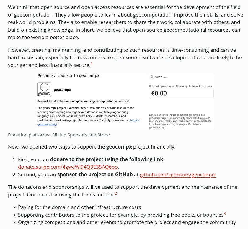
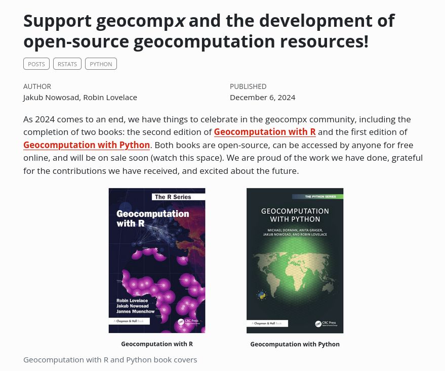
Advancing geocomputation through open-source software! 🗺️

Consider supporting our continued development of free, powerful spatial analysis resources, such as Geocomputation with R.

Learn how to contribute at https://buff.ly/3OMFPUU

#rstats #rspatial #geopython #gecompx
Reposted by Jakub Nowosad
I'll write a post soon specifically on #rstats, but this week's post includes a full example of how SedonaDB can do this just as well in R as it can in Python!
Reposted by Jakub Nowosad
New R package: gridmappr by Roger Beecham

It automates creating small multiple gridmap layouts by optimally placing geographic points into grid cells (inspired by Jo Wood’s Observable notebooks).

👉 github.com/rogerbeecham...

#RStats #RSpatial #DataViz #GISchat
Reposted by Jakub Nowosad
🗺️ New blog post: introducing Spatial Data Visualization with tmap, a work-in-progress guide to thematic mapping in #RStats.

Learn about the book, its progress, and how to contribute: geocompx.org/post/2025/tm...

#DataViz #Mapping #tmap #geocompx
A screenshot of the blog post A screenshot of the blog post
Working with geospatial attribute data in Python? 📊🌍🐍

Chapter 2 of Geocomputation with Python covers subsetting, aggregation & joins for vector data, and subsetting + summarizing raster values.

👉 py.geocompx.org/02-attribute...

#GeoPython #Python #GISchat
Reposted by Jakub Nowosad
On the blog: how to map hundreds of thousands of US Census blocks performantly with R and PMTiles.

This is the first in a three-post series on production mapping workflows for big spatial datasets with PMTiles.

Read the post: walker-data.com/post...
New blog post by Adam Steer: Identifying deformed sea ice using geomorphons ❄️🌊

Exploring sea ice as a landscape analysis problem with QGIS + GRASS GIS, using drone + lidar data.

👉 www.spatialised.net/identifying-...

#Geospatial #RStats #RSpatial #GISchat
Reposted by Jakub Nowosad
The European Open Source Awards marks a celebration and one of a kind recognition of open source excellence in Europe.

Open Call for Nominations: https://europeanopensource.academy/open-call-nominations-european-open-source-awards-2026
Starting out with geographic data in Python? 🌍🐍

Chapter 1 of Geocomputation with Python introduces vector & raster models + core tools (geopandas, shapely, rasterio).

👉 py.geocompx.org/01-spatial-d...

#GeoPython #Python #GISchat
Reposted by Jakub Nowosad
Interesting...I think of GeoParquet and GeoArrow as tech that allows more people to avoid the cloud (i.e., use your laptop to do things that everyone thought they needed "the cloud" for five years ago). When your 14 GB .fgb files become 2GB GeoParquets, you can fit a whole lot more of them locally!
Reposted by Jakub Nowosad
redistio now uses @kylewalker.bsky.social's mapgl for interactive redistricting map editing!

redistio is an #rstats package that uses Shiny to draw redistricting maps locally.

Unlike other district editors, this provides access to our simulation algorithms, interactively!

Short demo:
Reposted by Jakub Nowosad
Preview the 2.5 billion buildings from @overturemaps.bsky.social in a single line of R code?

Why not?

Check out the pmtiles package: github.com/walkerke/pmt...
Reposted by Jakub Nowosad
Come work with me and the best team!! We work openly, together, with kindness. We care about onboarding, and have the best team culture I've ever experienced.
📣 Come work @openscapes.bsky.social ! We're looking for a NASA Openscapes Team Member to improve access & use of NASA suborbital data thru reproducible notebook clinics. Apply by October 26, 2025. Start December 2025.

Details including pay rate: openscapes.org/connect#work...
Please share!
connect – Openscapes
openscapes.org
Reposted by Jakub Nowosad
Updates are underway in the {stats19} #rstats package, the quickest way to access large, high-quality collision datasets with geographical location and dozens of other variables at collision, vehicle, and casualty levels: new contributor (Blaise 🔥) + new data almost ready to launch 🚀
New post by David O’Sullivan:

“Raster really is faster (and vaster), but vector just seems more corrector.”

Part 1A of a series revisiting ideas from Geographic Information Analysis: fractals, raster vs vector, and R code.

👉 dosull.github.io/posts/2025-0...

#Geospatial #RStats #RSpatial #GISchat
I totally forgot: have you tried lwd.legend = tm_legend(reverse = TRUE)?
Hi! 1. Yep -- you will need to be patient. The rest of the book will not be done shortly (there are some other priorities atm). 2. Your approach looks fine by me. If you have any suggestions on how to make it better -- please open a pull request in the tmap GitHub repo.
🌍Exploring Sentinel-2 with the Copernicus Data Space Ecosystem (CDSE)?

Hugh Graham’s guide with vrtility in #rstats. Includes authentication & query of imagery and building cloud-free composites.

permian-global-research.github.io/vrtility/art...

#RSpatial #RemoteSensing #EarthObservation #GIS
Reposted by Jakub Nowosad
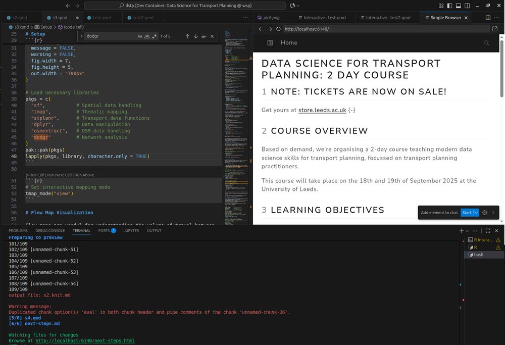
In preparation for the Data Science for Transport Planning (DSTP) course I'm teaching this week, I've updated the geocompx docker images to make them smaller, faster, and more flexible. Happy with the results: a portable multilingual environment for reproducible (transport) #DataScience
Reposted by Jakub Nowosad
Had a privilege and pleasure to teach terra pkg (created by @roberthijmans.bsky.social et al.) and spatial sampling with R together with Alexandre Wadoux at the #EOSummerSchool2025 at WICC. You can follow the terra tutorial from here: differ.blog/p/processing...
📹: youtu.be/q9sQkg7BeAc?...
Processing large rasters using terra package for R: combining tiling and time-series modeling
differ.blog
This week (Sep 15–19) I’m attending the #ECMLPKDD2025 conf in Porto!

Happy to chat about the intersection of machine learning and spatial data -- reach out if you’d like to meet. 🌍

#ECMLPKDD2025 #MachineLearning #Geospatial
🚀 Book in progress: Spatial Data Visualization with tmap

A guide to creating thematic maps in R with the tmap package.
Covers everything from loading data to interactive and animated maps, with reproducible code.

Read online: tmap.geocompx.org

#rstats #rspatial #geocompx #gischat #maps
📢 Materials from the OpenGeoHub Summer School 2025 (“Data Science for Earth Observation”) by Krzysztof Dyba are now online.

Discuss how to access, process, and analyze satellite data with #RStats.

👉 github.com/kadyb/OGH2025

#RSpatial #RemoteSensing #GISchat