
Dan Holley
@danholley.bsky.social
490 followers
160 following
36 posts
Met Office Deputy Chief Meteorologist @metoffice.gov.uk ⛅
Weather Images Editor, RMetS journal "Weather" https://www.rmets.org/weather 📖
Research: http://tinyurl.com/wxresearch 📈
Storm Chaser 🌩🏃
Own views
Posts
Media
Videos
Starter Packs


Dan Holley
@danholley.bsky.social
· Aug 4
Reposted by Dan Holley

Reposted by Dan Holley


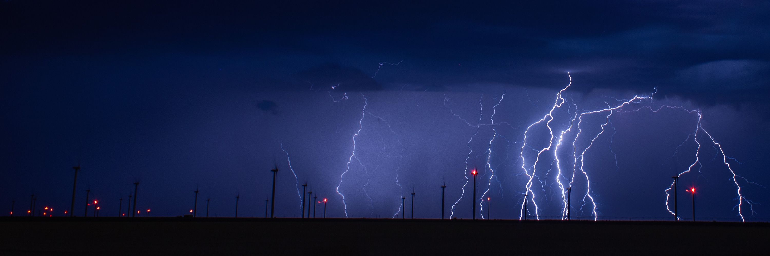
Dan Holley
@danholley.bsky.social
· Jun 27
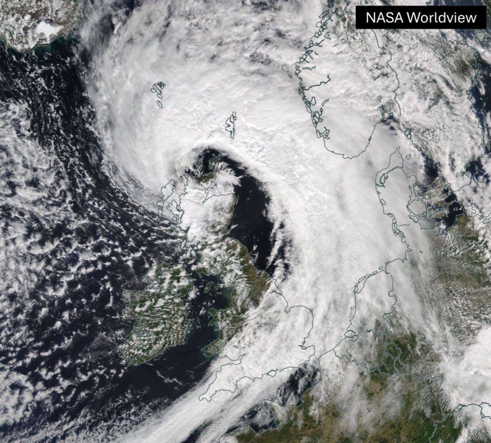
Dan Holley
@danholley.bsky.social
· Jun 27
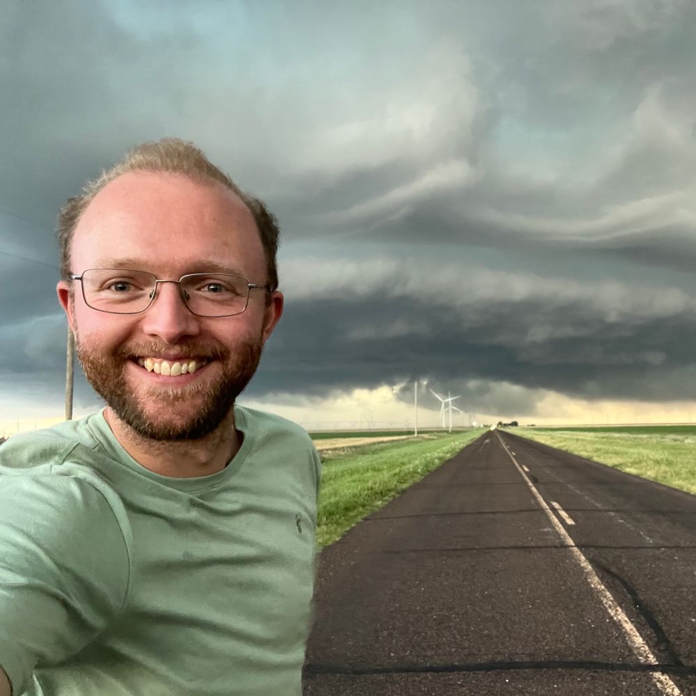
Dan Holley
@danholley.bsky.social
· Jun 26

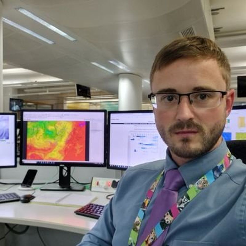
Dan Holley
@danholley.bsky.social
· Jun 17
Dan Holley
@danholley.bsky.social
· Jun 16
Dan Holley
@danholley.bsky.social
· Jun 8


Dan Holley
@danholley.bsky.social
· Apr 1

